Station to summit
Hiking near Tokyo, by train.
Fifteen guides to two mountains. Every route was walked before it was written, every section time was taken off a watch, and every fare was read off the board on the day.
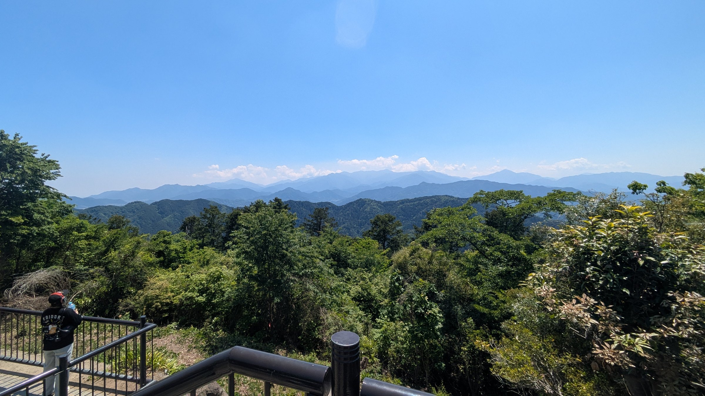
- Guides
- 15Takao and Mitake
- Routes walked
- Allnone written from a timetable
- Times
- Measuredfrom photograph timestamps
- Errors fixed
- 4August 2026, after re-checking
The reason this site exists
The English on these mountains tells you what things are. It does not tell you what to do.
The interpretive boards are good. They will name the boulder after a long-nosed goblin and explain which rite the waterfall is used for. What no board tells you is the part that changes your day.
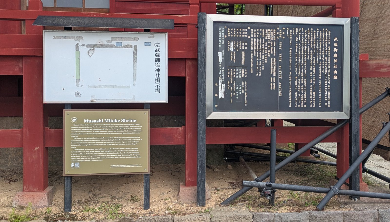
The deity here is a wolf.
Accurate, well translated, and genuinely interesting. The panel does its job.
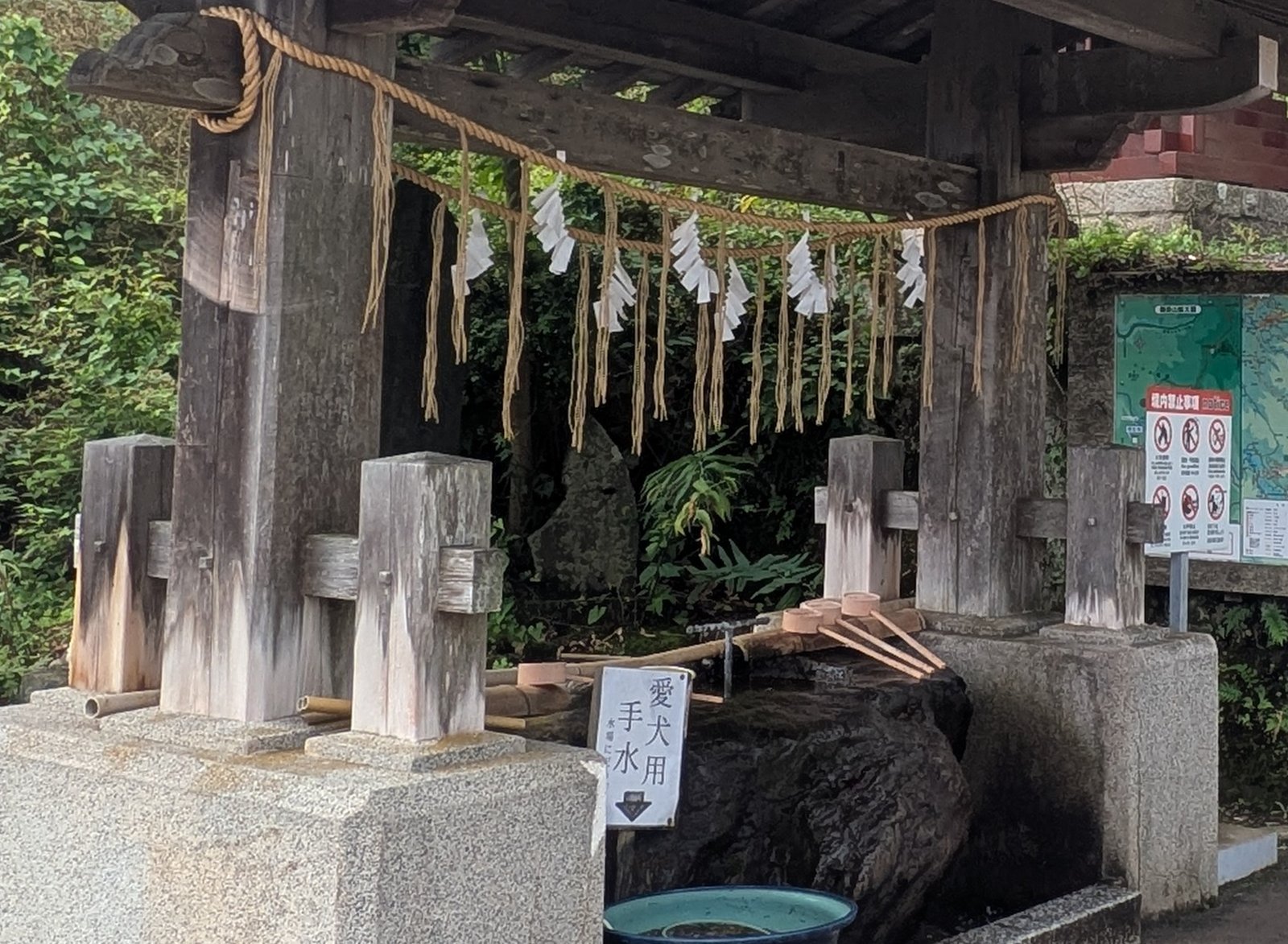
So dogs come to pray as well — and there is a way to do it.
There is a lead hook, a water bowl, and an order to the thing. No sign in any language explains it.
Measured, not copied
Published times and real times are not the same number.
Every figure on the right came off a watch or a photograph timestamp on the day of the walk. Where the sign and the mountain disagree, this site prints both.
Start here
Four ways in. Pick the one that sounds like you.
One free day · never hiked in Japan
Mount Takao
599 m, fifty minutes from Shinjuku, eight numbered routes to one summit. A cable car, a chairlift, a working temple in the middle of the trail, and a hot spring at the station you come back to.
Ten guidesTakao is done · you would rather decide on the mountain
Mount Mitake
929 m, ninety minutes out, and a cable car that lifts you to 831 m before you take a step. A village of pilgrim lodges on the ridge, and a shrine to a wolf deity at the top of 330 stone steps.
Five guidesTemples are the point · you would rather walk than climb
Kamakura
159.2 m of ridge above a town of temples, an hour from Tokyo. Two trails, and the end you enter from decides whether you pay.
Three guidesThe bus is the part that worries you
How the bus works
Country buses run backwards from city buses. You board at the middle door and pay when you get off, because the fare depends on where you got on.
Read this firstThe first mountain
Mount Takao
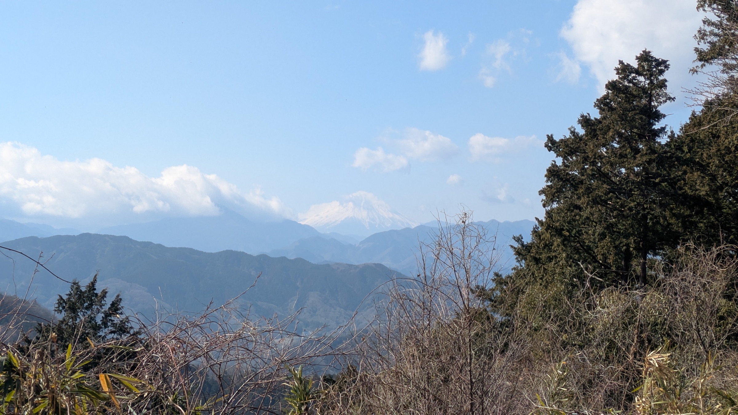
The only real decision is which way you go up — and the answer is not the one most first-timers pick at the station.
- Which route should you take?→ The guide to choosing — and why the paved route is the hardest one.
- Trail 1: walk up, or take the cable car?→ The climb is not evenly spread. The cable car skips exactly the steep part.
- Cable car or chairlift?→ The fares are identical, so the weather, the clock and one list of restrictions decide it.
- Yakuo-in, the temple on the trail→ What to do as you walk through, in the order you meet it.
- Trail 6: the stream is the path→ For one stretch you walk up the streambed itself, which decides your shoes.
- The Inariyama route→ The quiet ridge, and the one viewpoint that faces backwards so most people miss it.
- The traverse to Lake Sagami→ Walk the famous ridge the unfashionable way round and the crowds disappear.
- The onsen at the station→ Prices, hours, the tattoo rule, and the rules that can turn you away at the door.
- Mount Takao with tattoos→ The bath at the trailhead refuses you, and the listings promising alternatives are years out of date.
- Mount Takao in autumn→ The colour moves down the mountain over weeks, and the crowd is at the cable car, not on the trail.
The one you plan on arrival
Mount Mitake
Everything above the cable car is optional, which is why this is the mountain you plan when you arrive rather than at home.
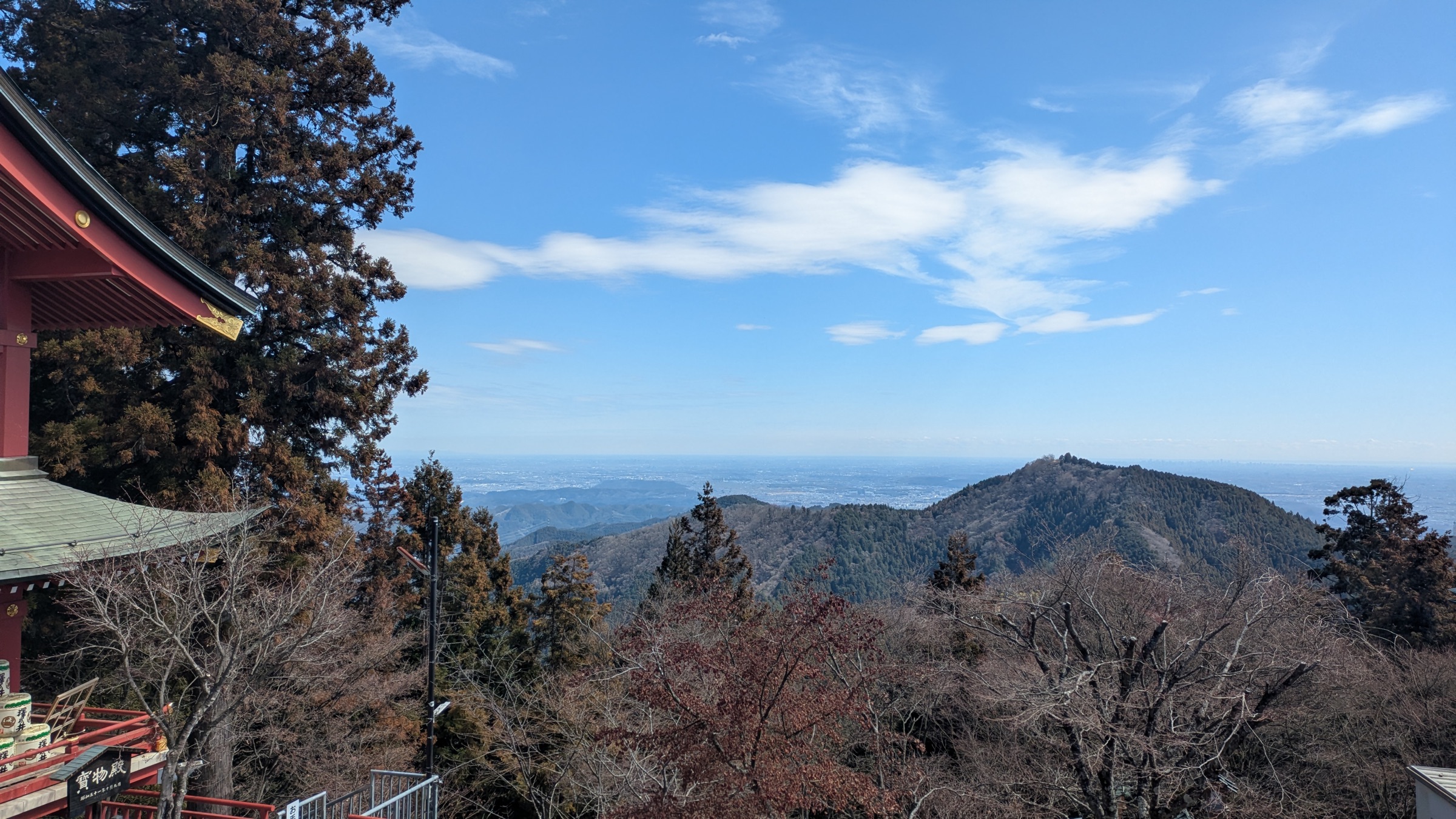
- Mount Mitake in one day→ The whole day end to end: three decisions, three plans, and what each costs in minutes.
- How to get there→ Both timetables, the wait nobody times for you, and why a return ticket saves you nothing.
- Musashi Mitake Shrine→ The deity is a wolf, so dogs come to pray as well — and no sign tells you how.
- The Rock Garden→ A mossy valley loop of 1 hour 34 minutes, whose hardest section is a spur you can skip.
- Over the ridge to Mount Hinode→ Leave the mountain by the far side, into a hot spring and a different railway line.
Temples with a ridge above them
Kamakura
The walking here is ridge walking, not a stroll from one temple to the next. Both trails are short. What separates them is the entrance: one starts inside a temple that charges to pass through, and the other starts on a flight of steps outside the gate.
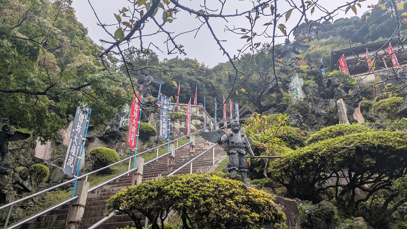
- Kamakura hiking trails: which end you start from→ Two ridge walks above one town, and the end you enter from decides what you pay.
- The Daibutsu trail starts beside a temple→ The entrance is a flight of mossy steps past Jochi-ji, not the gate. That is why it is free.
- What the 500 yen at Kencho-ji buys→ The price is printed in English. The sentence saying walkers passing through also pay it is not.
- Mount Takao or Kamakura?→ One is a climb with a temple on it. The other is temples with a walk around them.
The one a commuter train does not reach
Mount Fuji
What follows is not mainly a walk. The permit and the mountain hut have to be booked months ahead, on separate systems with separate opening days.
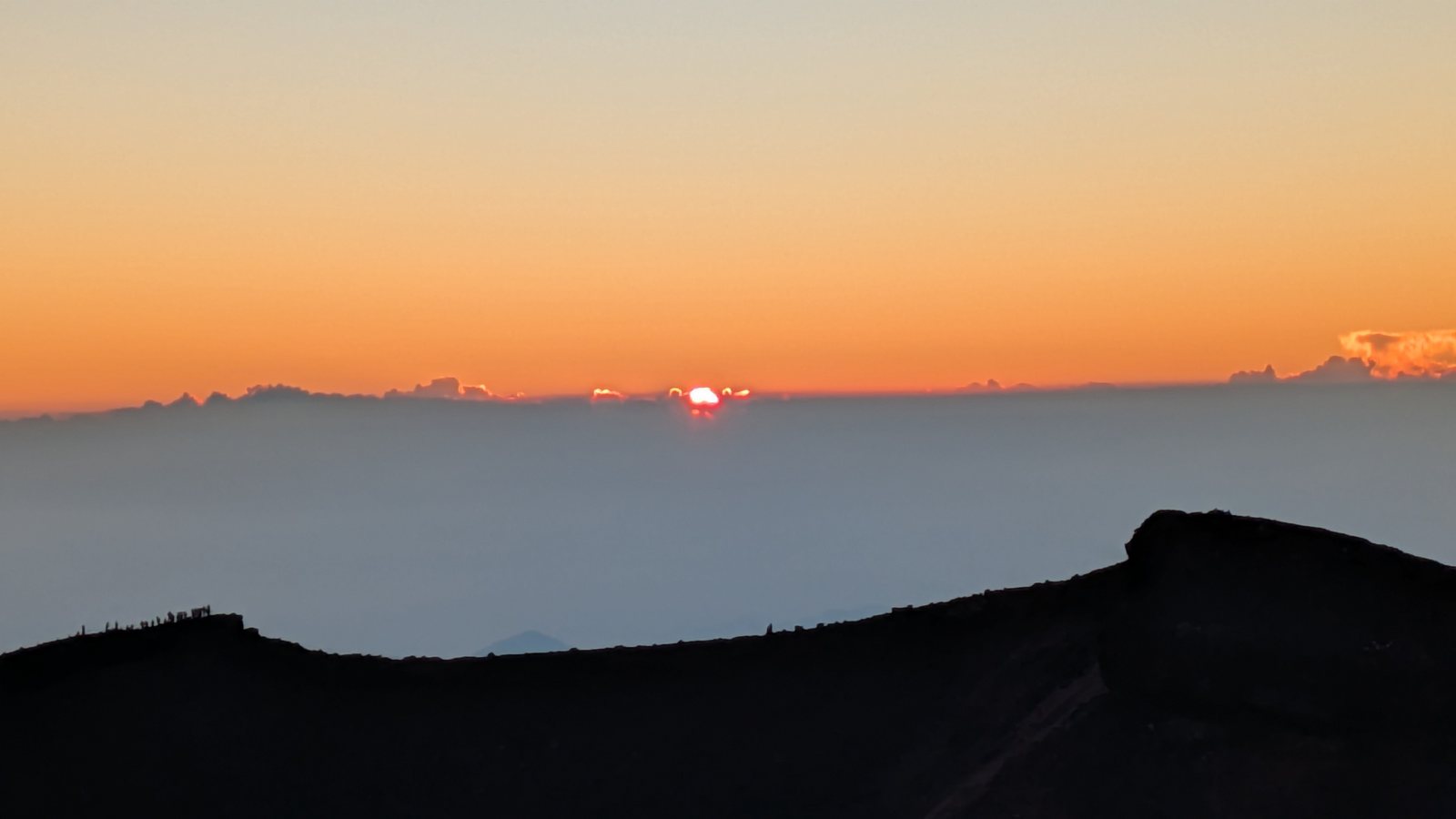
Fuji sits apart on this site on purpose: it is the one mountain here you cannot reach on an ordinary train, and the one where the night, not the gradient, is the thing to plan for.
- Is climbing Mount Fuji worth it?→ One overnight climb measured hour by hour, so the question becomes whether you want that night.
- Alone, or on a guided tour→ My own timings set against two published tour itineraries, and the parts a tour actually removes.
- The 2026 rules that decide your climb→ The 4,000 yen toll is the easy part. The gate that shuts at two in the afternoon is what turns a hut booking into permission.
- Mount Takao or Mount Fuji?→ Why the two are not alternatives. The deciding factor is your calendar rather than your legs.
Getting around
The mechanics that stay the same on every mountain.
The practical part that route guides tend to skip, because the writer already knew it.
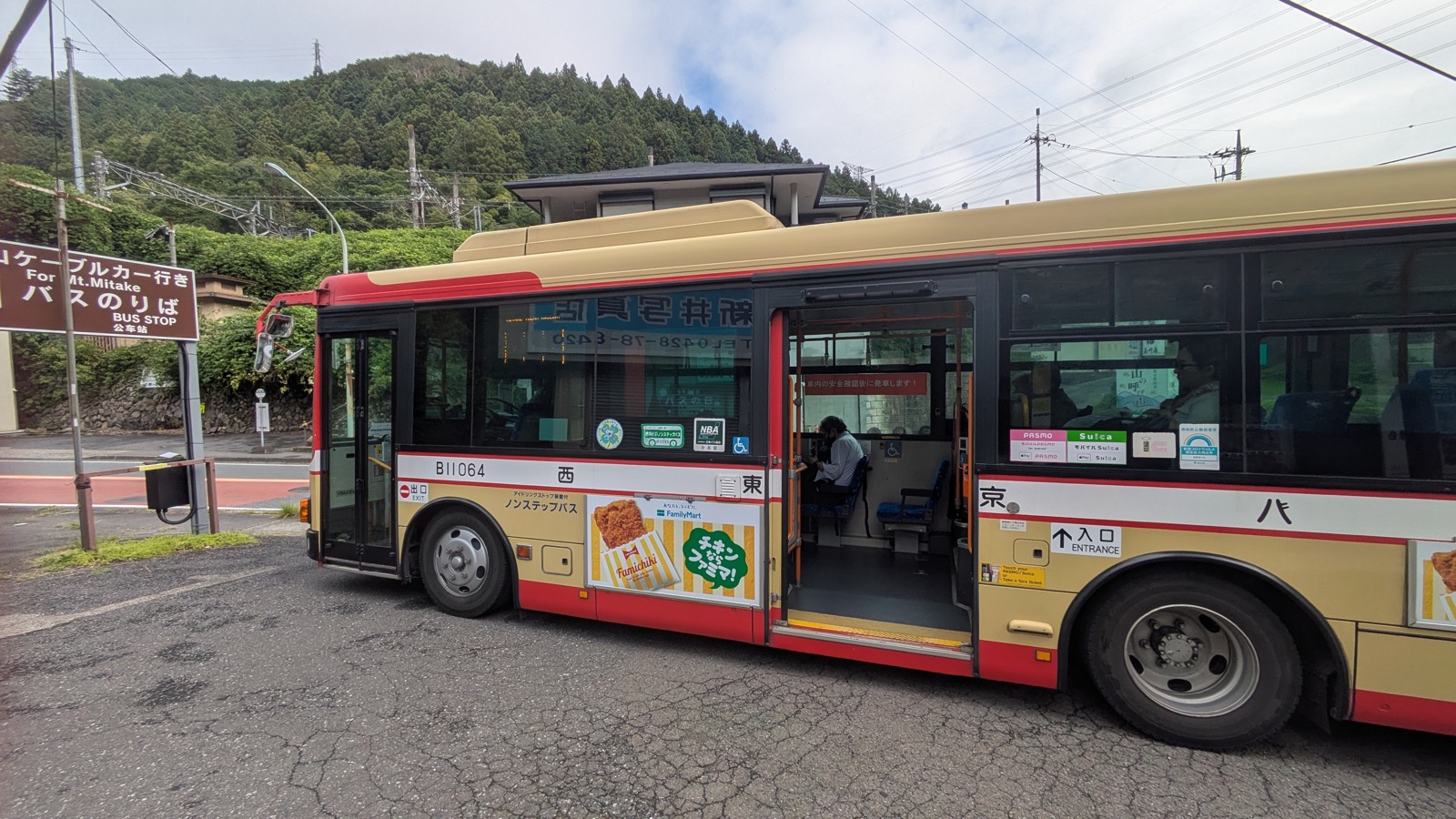
- How to ride a Japanese bus to a trailhead→ Board at the middle door, take a numbered ticket, and pay when you get off — the fare depends on where you got on.
- Mount Takao or Mount Mitake?→ The two set side by side, with measured travel times, fares, and what waits at the top.
- Mount Takao or Kamakura?→ A climb against a morning of temples on the flat.
How these guides are written
Four rules, and what happens when one of them fails.
Walked first
Every route here was walked by the person who wrote it, and the article names the date. Where the weather mattered, it says what the weather was.
Timed with a watch
Section times are measured on the day, not copied from a timetable or a signboard. Where the two disagree, the article says so — the gap is often the useful part.
Prices read off the board
Fares come from the board at the ticket window on the day of the walk, with the date given, so you can tell how old the number is.
Corrected
When something here turns out to be wrong, the article gets fixed. Four factual errors were corrected in August 2026 after the sources were checked a second time.
Official pages are linked inline. When an official source and the mountain disagree, both are given rather than one being quietly dropped.