Some links on this site are affiliate links. If you book through one, Tokyo Trailhead earns a commission at no extra cost to you. It never decides what appears here.
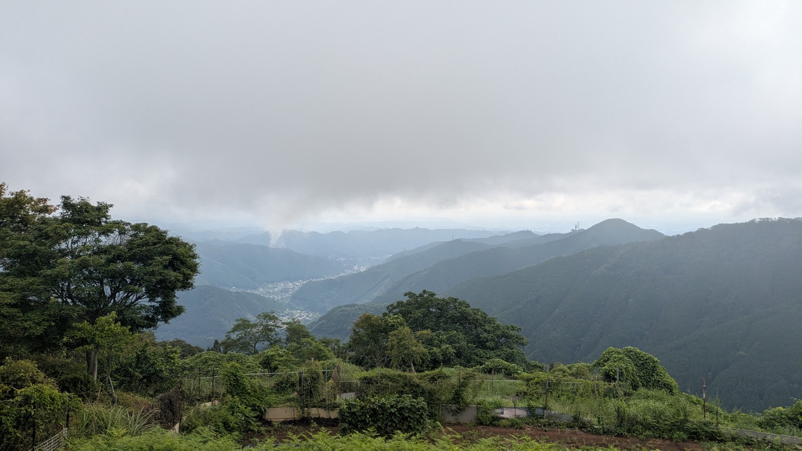
The cable car does the climbing on Mount Mitake. It lifts you 424 vertical metres (1,391 feet) in six or seven minutes and puts you down at 831 metres (2,726 feet), on a paved lane, next to a shop that sells soft ice cream. Nothing you have done so far counts as hiking.
Everything above that point is a choice.
That is the unusual thing about this mountain, and it is also the problem. Mount Mitake does not hand you a route. It hands you a menu: a shrine at the top of 330 stone steps, a mossy river valley that takes an hour and a half, a ladder to a waterfall, a chain up a boulder, a ridge that carries you off the mountain entirely and ends at a hot spring on a different railway line. Some of those take twenty minutes. One of them takes the rest of your day.
And nobody publishes the menu. The railway that carries you up does publish model courses, and the two that are actually written out both finish back at the same cable car station, which is reasonable enough, because the company that wrote them also sells the ride down. The three courses that go further than the shrine — the Rock Garden, Mount Hinode, the flower slope — appear on that page with the words “in preparation” where the description should be, and they were still empty in August 2026 (Mitake Tozan Railway, model courses). The tourist association on the Ome side describes what is on the Ome side. The town of Hinode, over the ridge, publishes one hiking course and it walks in from the Hinode side and back out the same way (Hinode Town). Each of them stops where its own ground stops. The day as a line, in at one station and out at another, is not written down anywhere.
So here it is, measured on a weekday in August 2026, from the first train to the last bus. Three decisions, and what each one costs in minutes.
Affiliate link. This site earns a commission if you book through it, at no extra cost to you. Photo from our own walk.
What this guide covers10 sections
- First, the name
- The numbers, before you decide anything
- Decision 1: how you get up
- Decision 2: what you do up there
- Decision 3: how you get down
- Three versions of the same day
- In August, add an hour at the station
- Four things to know before you decide
- Questions people actually ask
- What to bring instead of a plan
First, the name
If you searched for this mountain in English you may have found articles about a volcano that erupted without warning and killed people. That is a different mountain.
The volcano is Mount Ontake, on the border of Nagano and Gifu, roughly 200 kilometres (124 miles) west of Tokyo, 3,067 metres high. It erupted in 2014.
The mountain in this article is Mount Mitake, 929 metres, inside Tokyo, ninety minutes from Shinjuku, with a cable car and a village of pilgrim lodges on top. It is not a volcano and it never has been. Both names use the same two kanji, 御岳, which is why the search results run together.
Every sign you will meet on the ground says Mt. Mitake. The cable car station at the top is Mitakesan. The shrine is Musashi Mitake. Once you are on the train, the ambiguity disappears.
The numbers, before you decide anything
| Mitake Station, JR Ome Line | 286 m / 938 ft |
| Cable car base station, Takimoto | 407 m / 1,335 ft |
| Cable car top station, Mitakesan | 831 m / 2,726 ft |
| Musashi Mitake Shrine, the summit | 929 m / 3,048 ft |
| Mount Hinode, over the ridge | 902 m / 2,959 ft |
| Station to station, doing all of it | 7 hours 07 minutes |
| Of which, on foot | 4 hours 45 minutes |
Three things surprise people, so they are worth saying plainly.
The first is that the shrine, which is the summit, sits only 98 metres (322 feet) above the cable car station. Roughly thirty minutes of walking on a paved lane, then the steps. That is the entire mandatory climb of Mount Mitake.
The second is that the village on top is fully cashless. Six card networks, three QR wallets, transport IC cards. There are vending machines at 890 metres and free drinking water at the visitor centre. You do not need to carry cash up this mountain, which is the reverse of what most guidance about Japanese mountains tells you.
The third is toilets. There is one at Mitake Station, one at the cable car base, one at the top station, one by the shrine, one at the rest hut in the middle of the Rock Garden, one at the Oku-no-in junction, and one just below the summit of Mount Hinode. On the whole traverse the longest gap without a toilet is well under an hour.
Decision 1: how you get up
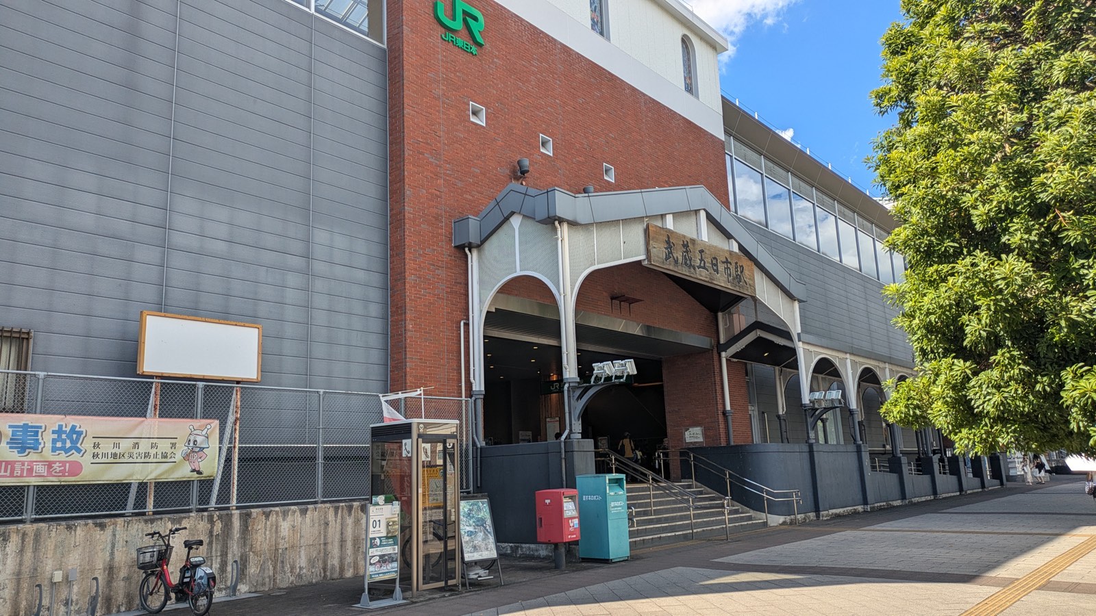
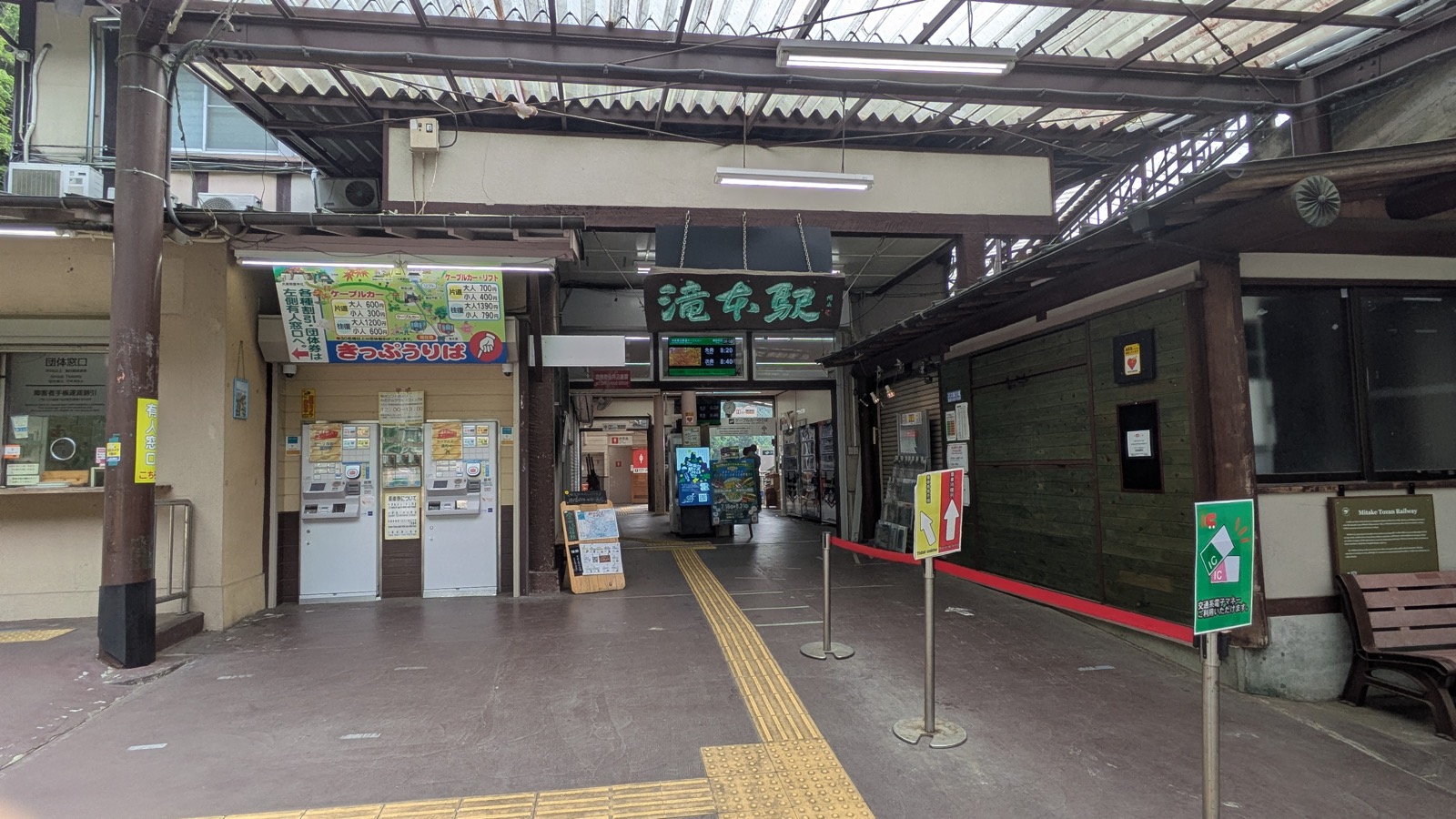
Mitake Station is ninety minutes from Shinjuku. Out of the station, turn right, walk two hundred metres to the bus stop, and take the bus to Takimoto, the cable car base. The timetable says ten minutes. It took four.
At Takimoto you buy a cable car ticket, or you tap a transport IC card straight through the gate. Single 600 yen, return 1,200 yen.
Notice the second number. The return ticket costs exactly twice the single, so it saves you nothing at all. The round trip discount was withdrawn on 1 April 2024 (Mitake Tozan Railway, fares).
That one detail changes how the day works, which is why it is Decision 1 and not a footnote. Buy a single. You are then free to decide, at the top, several hours later, with the weather in front of you, whether you come back down this way at all. The ticket in your pocket does not vote.
The full mechanics — which bus door to use, why the numbered ticket you take on boarding says 0, what the last connection is on a weekday — are in the guide to getting to Mount Mitake. If Japanese buses in general are the unfamiliar part, start with how to ride a Japanese bus.
Decision 2: what you do up there
This is the decision the mountain is built around, so here is the shape of it.
| Step | What it adds | Is it a choice |
|---|---|---|
| Cable car to 831 m | 6 to 7 minutes | No. This is how you arrive |
| Village and shrine, +98 m | about 1 hour there and back | In theory yes, in practice almost everybody |
| Rock Garden loop | 1 hour 34 minutes | Yours |
| Spur down to Nanayo Falls, inside the loop | 12 minutes, and the hardest ground of the day | Yours, again |
| Chain up Tengu Rock, inside the loop | a few minutes, and we did not take it | Yours, again |
| Ridge to Mount Hinode and a hot spring | 2 hours to the bath | Yours, and it replaces the cable car down |
Each row down that table is optional, and each one has a place to stop.
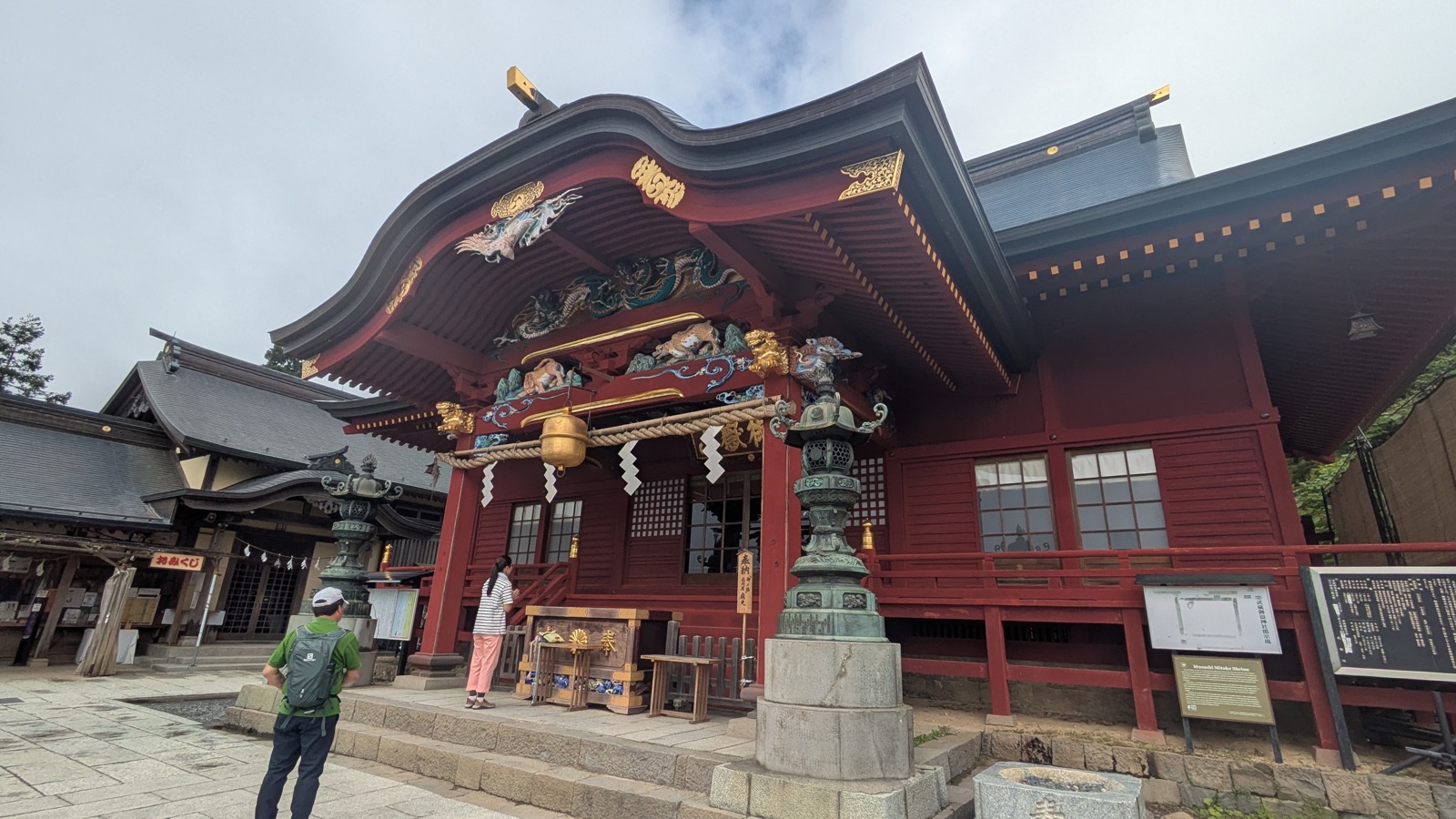
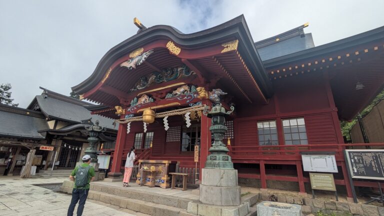
The village and the shrine take about half an hour of walking from the cable car station, on a paved lane, past the pilgrim lodges and the shops, then 330 stone steps. At the top there is a wolf deity, a water basin with a second basin at ankle height for dogs, and a view east through a gap in the cedars. Two hours covers this comfortably. Details, and what nobody tells you about how to behave there, are in Musashi Mitake Shrine.
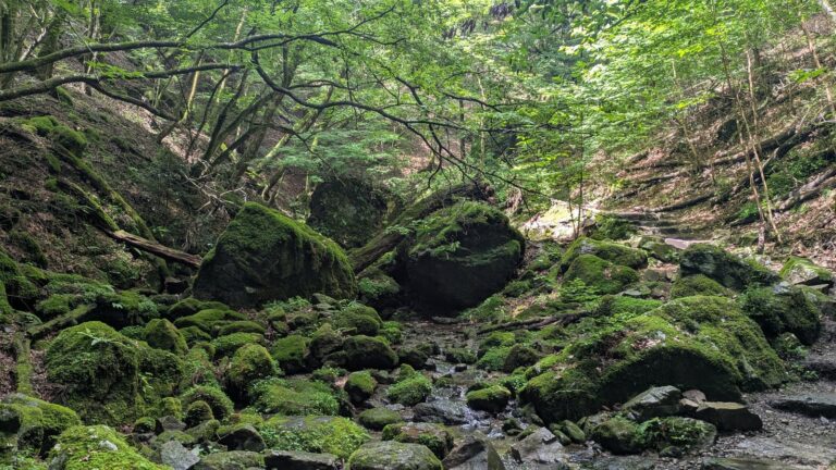
The Rock Garden is the big one. A 1.5 km (0.9 mile) loop through a mossy stream valley of enormous boulders, sometimes called the Oirase of Tokyo. Measured from the junction at Nagaodaira and back to it, with photographs and a rest, it took 1 hour 34 minutes. Inside that loop are two further choices, and one of them matters more than it looks: the spur down to Nanayo Falls is an out-and-back on a steep metal staircase and a ladder, and it is the hardest ground of the day. Skip it and you never touch that ladder. The full account is in the Rock Garden.
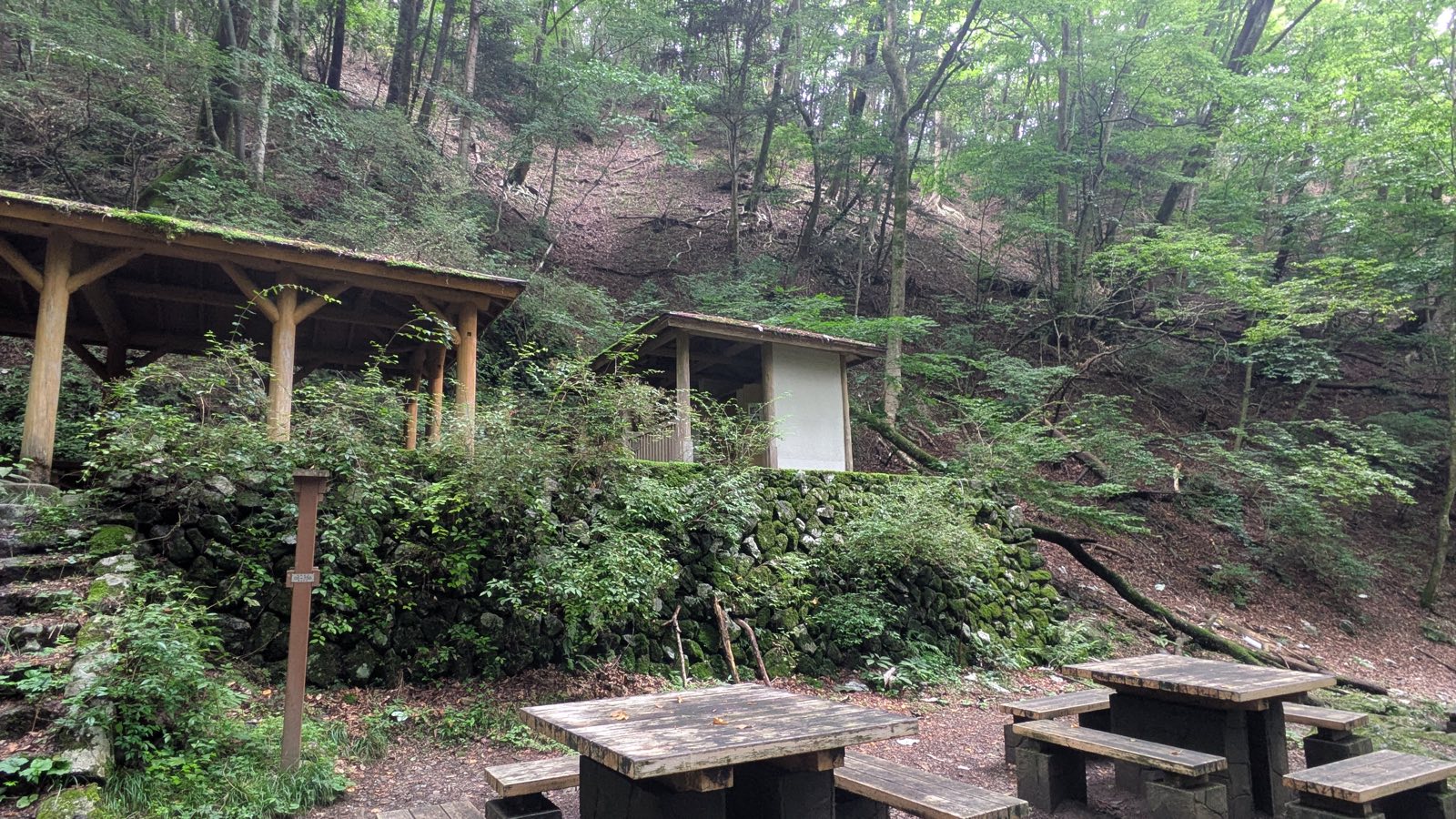
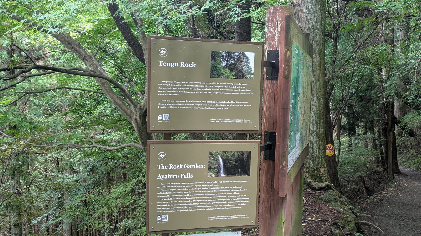
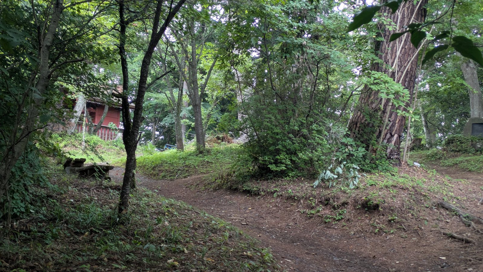
Now the part that makes all of this workable. You do not have to choose any of it in advance, because the choices are gathered in one physical place. The junction at Nagaodaira, ten minutes past the shrine, has benches, a national park map, and interpretive panels in English for Tengu Rock and Ayahiro Falls. Walk up, see the shrine, walk to Nagaodaira, and decide there, on the ground, with the sky in front of you and your legs already reporting in.
Decision 3: how you get down
There are two answers, and they end at different railway stations.
The first is the cable car. Go back the way you came. The last one down leaves the top station at 18:30 on every day of the week, which sounds generous, and on a weekday it is a trap: the last bus from the cable car base leaves at 18:21, before the last cable car has arrived. On weekdays the last cable car that still connects to a bus is the 18:00. On Saturdays and holidays there is an 18:51 bus and the problem goes away.
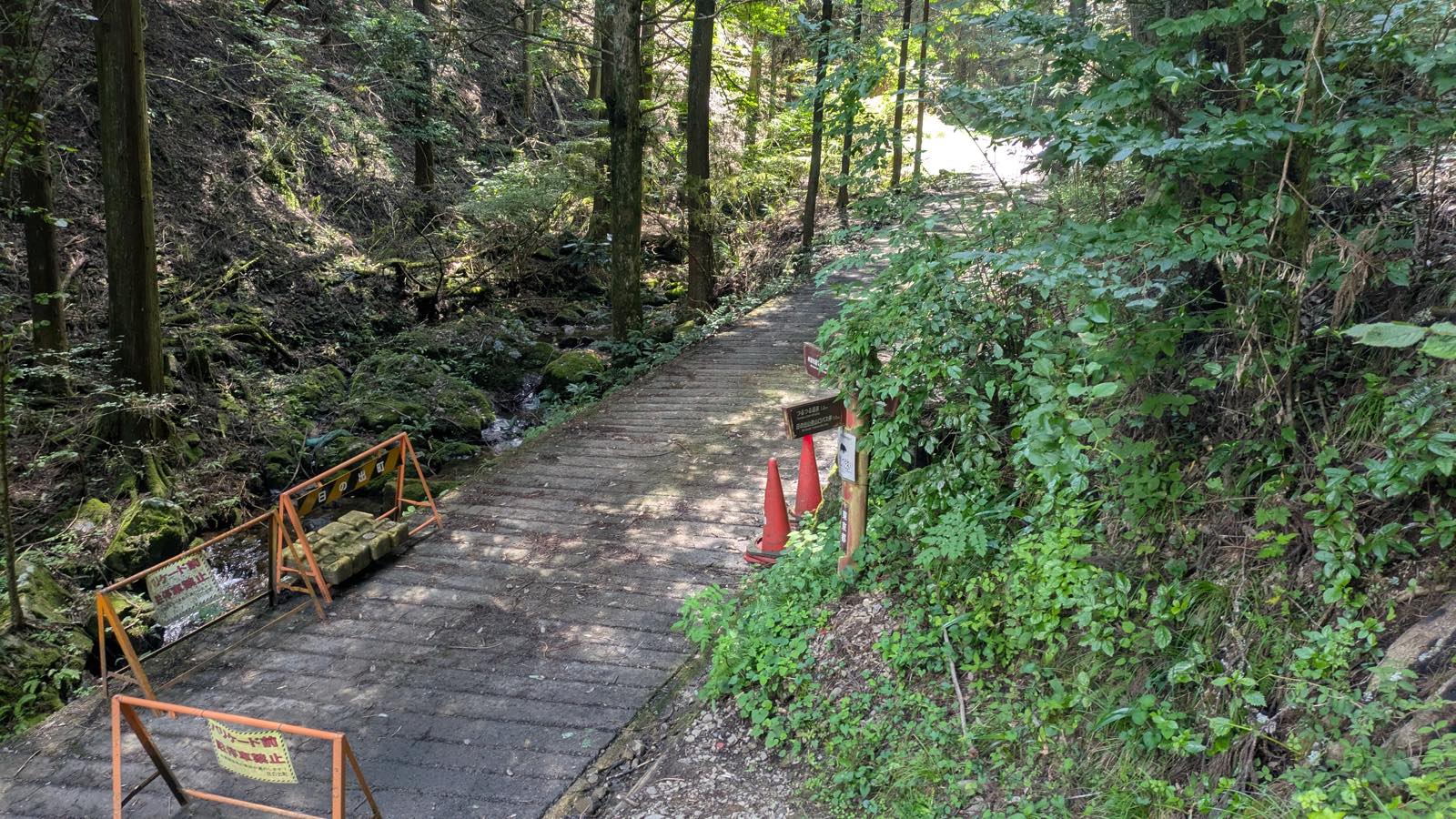
The second is to leave the mountain from the other side. From the fork in the village, a ridge runs to Mount Hinode, 902 metres, which has the view that the shrine does not: not a window through the cedars, but the whole Kanto plain from edge to edge, with benches facing it. Off the far side, down through the forest, out onto a road, and the road ends at a hot spring with a bus stop outside the door. That bus runs to Musashi-Itsukaichi Station, on a different line from the one you arrived on.
The number to carry for that second option is two hours. Fork in the village to the bath, measured, 1 hour 53 minutes including the summit stop. Add eighty minutes if you actually want the bath. Subtract from the bus you want, and that is your deadline at the fork. The whole calculation, with the timetable, is in Mount Mitake to Mount Hinode.
One warning about that side of the ridge, because it is the one thing on this mountain that is genuinely under-signed in English, and it comes up in section nine.
Three versions of the same day
Every one of these starts with the same train and the same cable car.
The two hour day. Cable car up, the lane through the village, the shrine, back. Lunch at one of the shops on the ridge if you want it. You are back at Mitake Station in the early afternoon with the day still in front of you. This is the version the railway itself describes, at one to two hours (model courses).
The four hour day. The same, plus the Rock Garden loop from Nagaodaira. Add the ladder to Nanayo Falls if the weather has been dry and you want the waterfall; skip it and the loop stays easy. Cable car back down. This is the version most people should probably plan for, and the one with the most room to shrink or grow at Nagaodaira.
The seven hour day. Everything above, and then the fork in the village instead of the cable car: Mount Hinode, the descent off the far side, the road, the hot spring, and the bus to Musashi-Itsukaichi. Measured on 6 August 2026 at 7 hours 07 minutes station to station, of which 4 hours 45 minutes was walking. Nothing in it is technically hard. The whole difficulty is arithmetic, and the arithmetic is in section six.
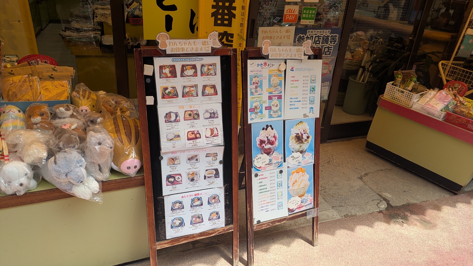
There is a fourth version worth naming: cable car up, shop, view, cable car down, forty minutes total, and no shame in it at all. The square outside the top station looks out over the plain and there are two shops on it.
A fifth version hands the choosing to someone else. One private Mitake day tour picks the shrine, the Rock Garden and the Hatonosu gorge, with a soba lunch, and drives you there and back from your hotel in Tokyo.
Affiliate link · Pickup inside the 23 wards · About 10 hours · Free cancellation up to 24 hours before
In August, add an hour at the station
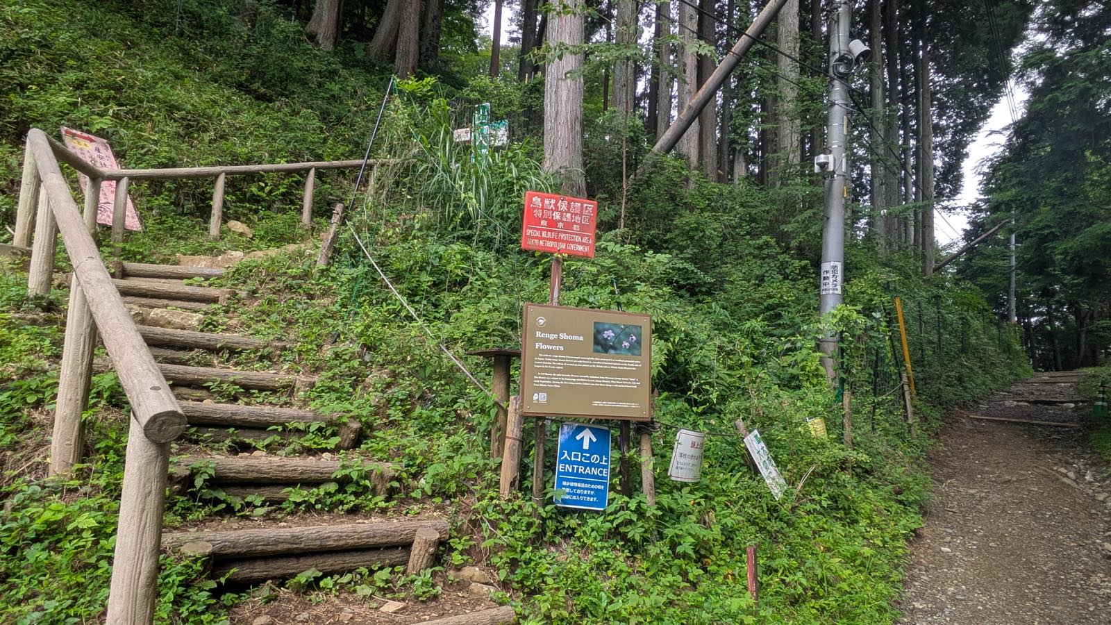
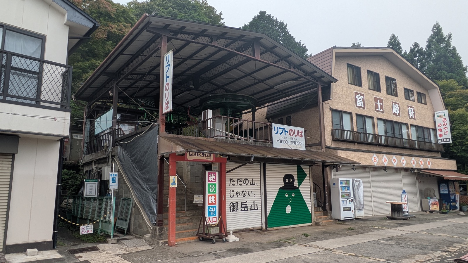
Two minutes from the top cable car station, on the slope behind it, there is a wooded hillside covered in a flower called renge shoma.
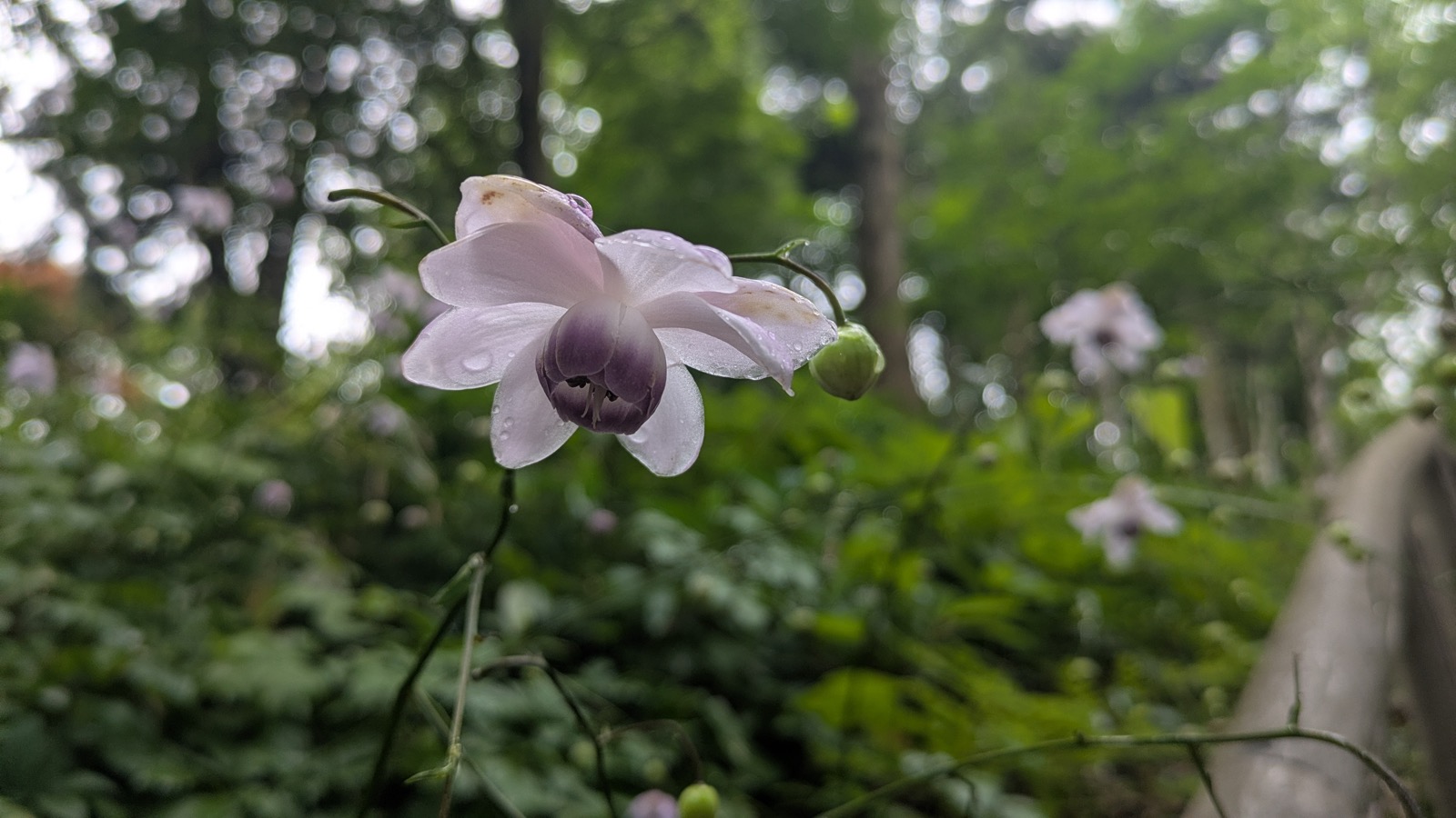
It grows wild nowhere else on earth. Anemonopsis macrophylla is endemic to Japan, and it is the only species in its genus (Yokohama Kodomo Botanical Garden). The interpretive board at the foot of the slope says as much in English: a woodland perennial native to Japan, found today in a handful of forested uplands on the Pacific side of central Honshu.
The tourist association counts roughly fifty thousand plants here, calls it the largest stand in Japan, and puts the flowering season from late July to late August (Ome Tourist Association). The board on the ground is more careful, and claims only the largest stand in the Kanto region. The mountain runs a festival around the flower either way.
Now the honest part, because the numbers above will set you up for something the flowers do not deliver. The flower is 3 to 4 centimetres (1.2 to 1.6 inches) across and it hangs face down under the leaves. Fifty thousand of them do not read as a spectacle. You are not walking into a field of colour; you are walking into a shaded slope where, once your eye adjusts, there are small pale bells everywhere. It is worth the detour. It is not worth building a trip around, and anybody who sends you up here for a landscape has misled you. What is in front of you is not a view. It is a plant that grows in this country and in no other, at eye level, two minutes from a cable car.
Seven or eight minutes covered the flower slope. Carry on up and there is Ubuyasusha, a subsidiary shrine of Musashi Mitake with three sacred trees, and a chairlift that runs the last stretch (Ome Tourist Association). The lift operates from 9:00 to 16:10 and shuts from 12:00 to 13:00. Walking, the shrine is about five minutes from the cable car station; with the lift, about one.
Other months have their own flowers, and the railway publishes a month by month list, including the iwatabako and toad lilies that grow on the wet rock down in the Rock Garden in August (Mitake Tozan Railway, flowers of Mount Mitake).
Four things to know before you decide
One. Rain the day before still counts. The Rock Garden is a stream valley full of moss, and it does not dry out on the timetable the sky suggests. The English panel at Tengu Rock says the surface is slippery when wet, which reads as advice about today. It is not. On 6 August 2026 the sky was clear all day and the rocks were still wet from the previous day; that is where the slip happened, and that is why the chain up Tengu Rock went unclimbed. Check yesterday, not just today.
Two. The bear notices are on one side of the ridge only, and they are in Japanese. On the Ome side there was not a single bear notice all day. The first one appeared at the trailhead on the Hinode side, put up by the town of Hinode, with no English on it at all, and facing the people walking up rather than the people coming down. Roughly half of the hikers we passed on the ridge were wearing bells. If you search for bears in English before you come, you will find nothing on the mountain that confirms it. The metropolitan government publishes its guidance for Tokyo, which is where the bell habit comes from (Tokyo Metropolitan Government, bear countermeasures).
Three. Weekdays and weekends are different mountains, timetable-wise. Not by a little. Coming back from the hot spring on the far side, the weekday buses run ten times a day, and in the middle of the day the 12:40 is followed by the 14:35, a gap of nearly two hours. Saturdays and holidays add an extra service, and they also add a second route that returns to the Ome line instead (Nishi Tokyo Bus). Photograph the return timetable before you start walking, not after.
Four. The cashless village has an opposite at the other end. On top of the mountain everything takes cards. Down at the hot spring, the front desk takes cards and transport IC, but contactless tapping on a card and QR wallets are refused, and the shop inside is cash only (Tsurutsuru Onsen). Carrying no cash at all works perfectly for six hours and then stops working. A thousand yen note covers it.
Affiliate link. This site earns a commission if you book through it, at no extra cost to you. Photo from our own walk.
Questions people actually ask
How long does Mount Mitake take? Two hours for the shrine, four with the Rock Garden, seven if you cross to Mount Hinode and the hot spring. All three start with the same cable car, and you can decide which one you are doing at Nagaodaira, ten minutes past the shrine.
Is it suitable for children? The shrine version is a paved lane and 330 stone steps with a handrail. The Rock Garden is an unpaved trail with broad, flat stepping stones and wooden bridges; the one part to think about is the ladder on the spur to Nanayo Falls, and that spur is optional.
Can I bring a dog? This mountain is unusually set up for dogs. The cable car sells pet tickets from 130 yen, the shrine has a water basin for dogs and offers blessings for them (Musashi Mitake Shrine). The gap is the bus at the bottom: a dog walking on a lead cannot ride, though a dog in a carrier can. Drivers can park at Takimoto instead.
What if it rains? The shrine version works in rain; it is a lane and steps. The Rock Garden becomes a wet-rock walk, and the chain and the ladder are best left alone. The traverse to Mount Hinode is a forest descent, which in rain is long and greasy rather than dangerous.
Mount Takao or Mount Mitake? The short version is that Takao suits a half day and Mitake suits a whole one. The long version, with the measured numbers for both, is in the comparison.
When is the last cable car? 18:30 from the top station, every day. On weekdays the last one that connects to a bus at the bottom is the 18:00.
Is there water? Free drinking water at the visitor centre in the village, plus vending machines. There is nothing on the Rock Garden loop, and nothing on the ridge to Mount Hinode.
Do I need towels for the hot spring? They are sold, not rented, at Tsurutsuru Onsen: 300 yen for a face towel, 750 for a bath towel, 950 for the set. Other things there are rented, including indoor wear at 500 yen, which is what causes the confusion.
What to bring instead of a plan
Bring a single cable car ticket and one number.
The single ticket, because the return saves you nothing and a return ticket quietly votes for coming back the same way. The number is two hours, which is what it costs to leave the mountain by the far side, and it is the only thing on Mount Mitake that has to be worked out against a clock.
Everything else can wait until you are standing at Nagaodaira with the map board in front of you. Mount Mitake does not set the difficulty of your day. You do, and the mountain has arranged itself so that you can do it late, on the ground, with the weather and your legs both reporting in.
That is the opposite of most mountain advice, and it is the reason this one is worth a whole day even when you have not planned one.
Where to next
- The morning half, and why the return ticket saves nothing: getting to Mount Mitake
- The village, the wolf deity, and a shrine that gives no instructions: Musashi Mitake Shrine
- The loop most people choose, and the hardest part of it that you can skip: the Rock Garden
- Leaving by the far side, and the two hour rule: Mount Mitake to Mount Hinode
- The bus mechanics, here and on every other mountain: how to ride a Japanese bus
- The other mountain, if you have not done it yet: which trail on Mount Takao