Some links on this site are affiliate links. If you book through one, Tokyo Trailhead earns a commission at no extra cost to you. It never decides what appears here.
Most people step out of Takaosanguchi Station and assume the paved trail must be the easy one.
It isn’t. Trail 1 — the wide, sealed path that almost every first-timer picks — is the hardest way up Mount Takao. The dirt trail through the trees is the gentlest.
I’ve walked every main route on this mountain. This guide is here so you learn that now, and not halfway up a concrete slope in the wrong shoes.
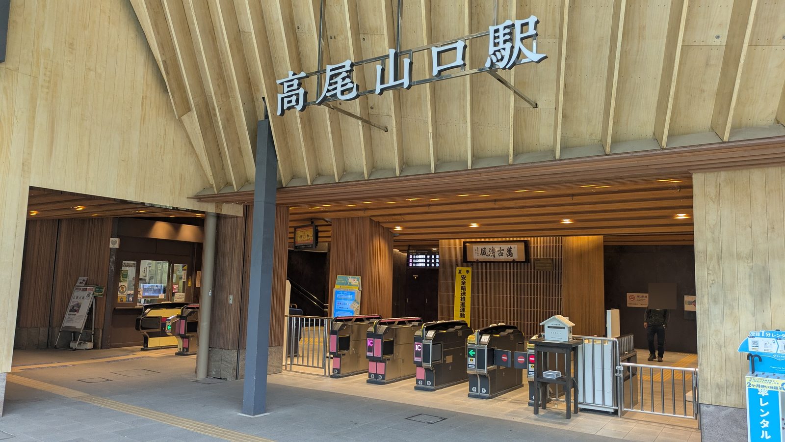
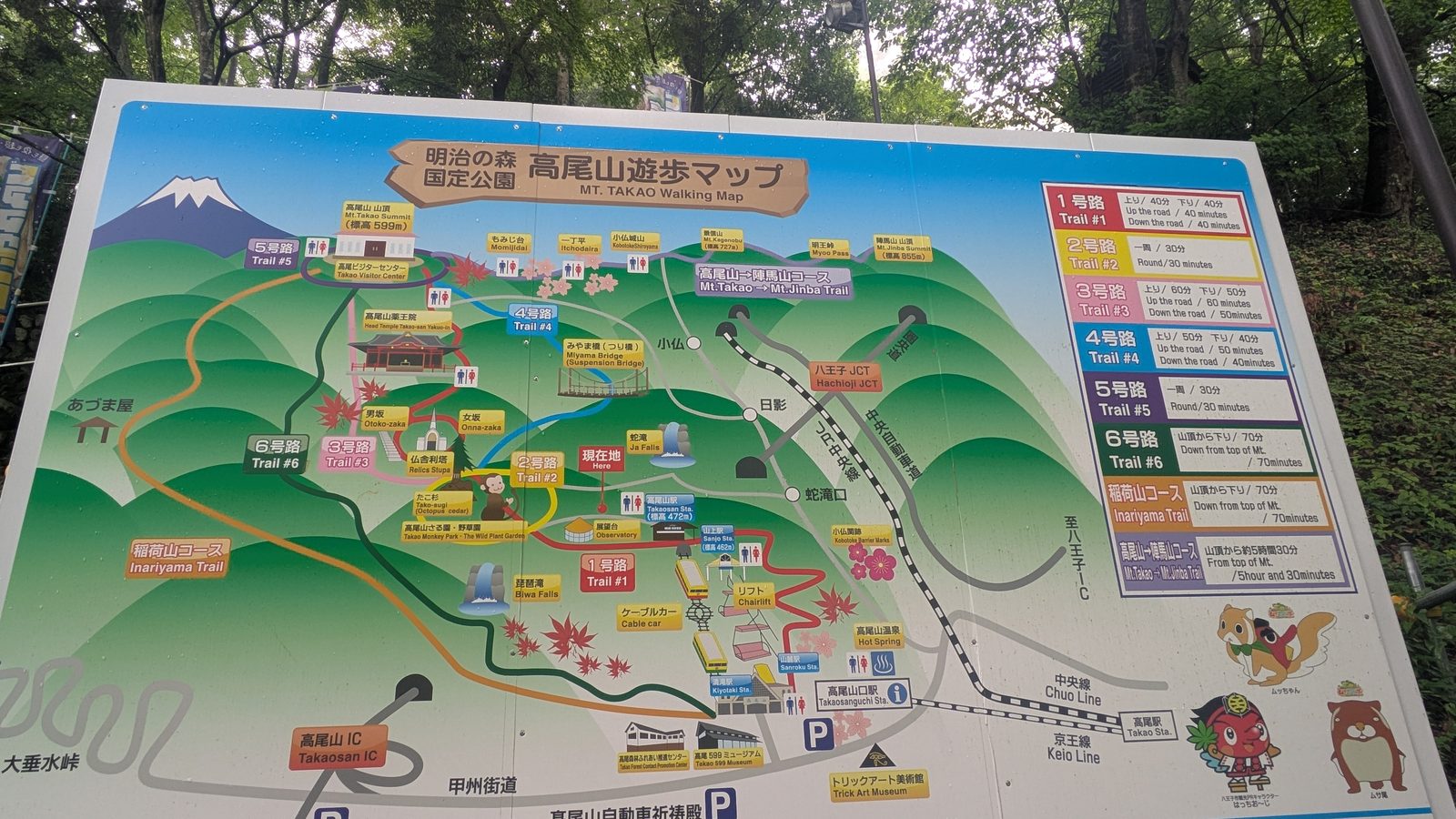
Mount Takao (599 m / 1,965 ft) sits at the end of a train line from central Tokyo, and the trailheads start at the station exit. What you do have to choose is which of the trails to take up, and that choice changes your day completely.
The short answer
| If you… | Take this |
|---|---|
| are here to sightsee more than hike | Cable car + Trail 1 from the upper station |
| are with small children, older parents, or aren’t confident on your legs | The cable car — not the chairlift (here’s why) |
| want the easiest walk on foot | Inariyama Trail |
| want shade, a stream and cooler air | Trail 6 |
| want the temple, the shops and the street food | Trail 1 |
| want to be away from the crowds | Inariyama Trail (the quietest of the three) |
Whichever trail you choose: starting before 8am is the single biggest thing you can do to avoid the crowds — it works on every route. More on timing below.
Quick comparison
Mount Takao · Choosing your route
The times are almost the same.
What differs is where the climb hits you.
Four ways up the same 599 m summit. On paper they look interchangeable — an hour and a half, give or take. They are not. Every route on foot gains the same ~400 m; the only thing that changes is which part of your day pays for it.
On paper
Half an hour separates the slowest from the fastest walk. That is not enough to choose on — and it is the reason most people default to the paved trail and regret it.
What the table doesn’t show
Where the climbing sits
Same summit. Same ~400 m of gain on foot. Drawn below is not a survey — it is where the climb actually bites, walked and timed. The red is the part your legs will remember.
The stretch that costs you. Everything else is walking.
Then the details
The details, side by side
| Trail 1Omotesando | Trail 6Biwa Falls | InariyamaRidge trail | Cable car+ Trail 1 | |
|---|---|---|---|---|
 |
 |
 |
 |
|
| Time to summit | 2 hrs 90 min at a good pace |
80–100 min | 80–100 min | 45 min from the upper station |
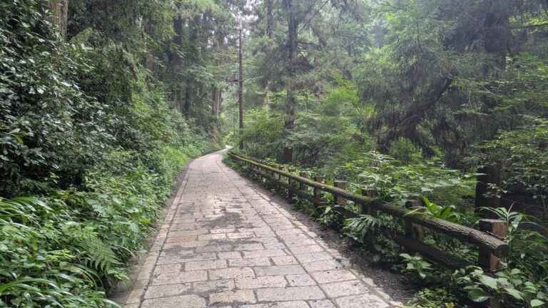
| Surface | Paved the whole way | Dirt, stream crossings, often wet | Dirt ridge, tree roots | Paved |
| Shoes | Comfortable walking shoes — no heels, no sandals | Grippy soles — avoid flat canvas shoes | Grippy soles — avoid flat canvas shoes | Comfortable walking shoes — no heels, no sandals |
| Toilets & water | Yes — toilets, vending machines, shops | Nothing at all | Nothing at all | Yes — toilets, vending machines, shops |
| Crowds | Busiest | Busy, and the path is narrow | Quietest of the three | Busy |
Walking times are measured from photograph timestamps, not signboard estimates. Surfaces, facilities and crowd levels were recorded on the trail in July 2026; trail restrictions were checked against the Takao Visitor Center’s published notices. All of them change — confirm before you go.
Why the paved trail is the hardest
It isn't the surface. It's where the climb is.
All three trails gain the same ~400 m (1,300 ft) between the station and the summit. What differs is how that gain is spread out — and that is what your legs actually notice.
Trail 1: the hard part comes early, and it lasts
About 40 minutes in, past the Kompira-dai lookout and before you reach the upper station of the cable car, Trail 1 tilts up and stays tilted. This is the steepest sustained stretch on the mountain.
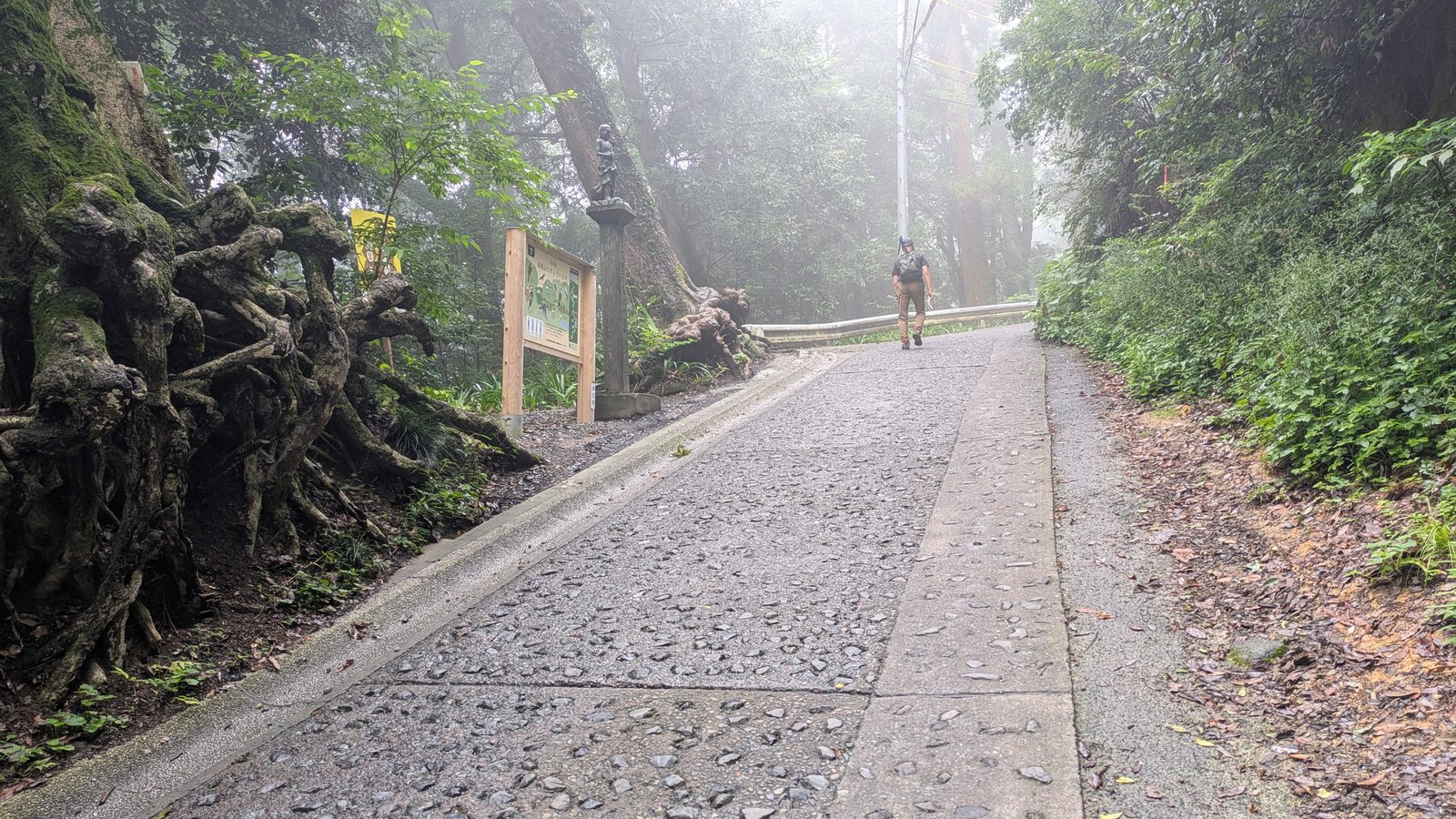
Concrete gives you nothing back. There's no soft ground, no switchback rhythm — just a long ramp with the sun on it.
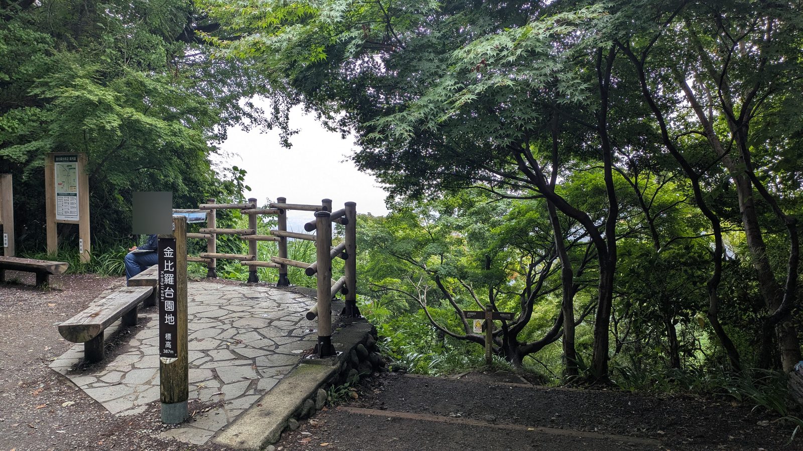
Get past that section and the rest is genuinely easy: from there to the summit, Trail 1 never really bites again.
Trail 6: the hard part comes last
Trail 6 follows a stream, and for most of its length it barely climbs at all. Then, near the top, it climbs hard. Our full Trail 6 guide walks the whole route, including the stretch where the path runs up the streambed itself.
That order works in your favour. By the time it starts to hurt, you can tell the day is nearly done — finish the climb and you're standing on the summit. It's the most satisfying of the three to finish.
Inariyama: the hard part comes first
Inariyama begins by hauling you straight up onto the ridge, and that first stretch is steep. Once you're on the ridge, though, it settles into a long, gentle walk under the trees.
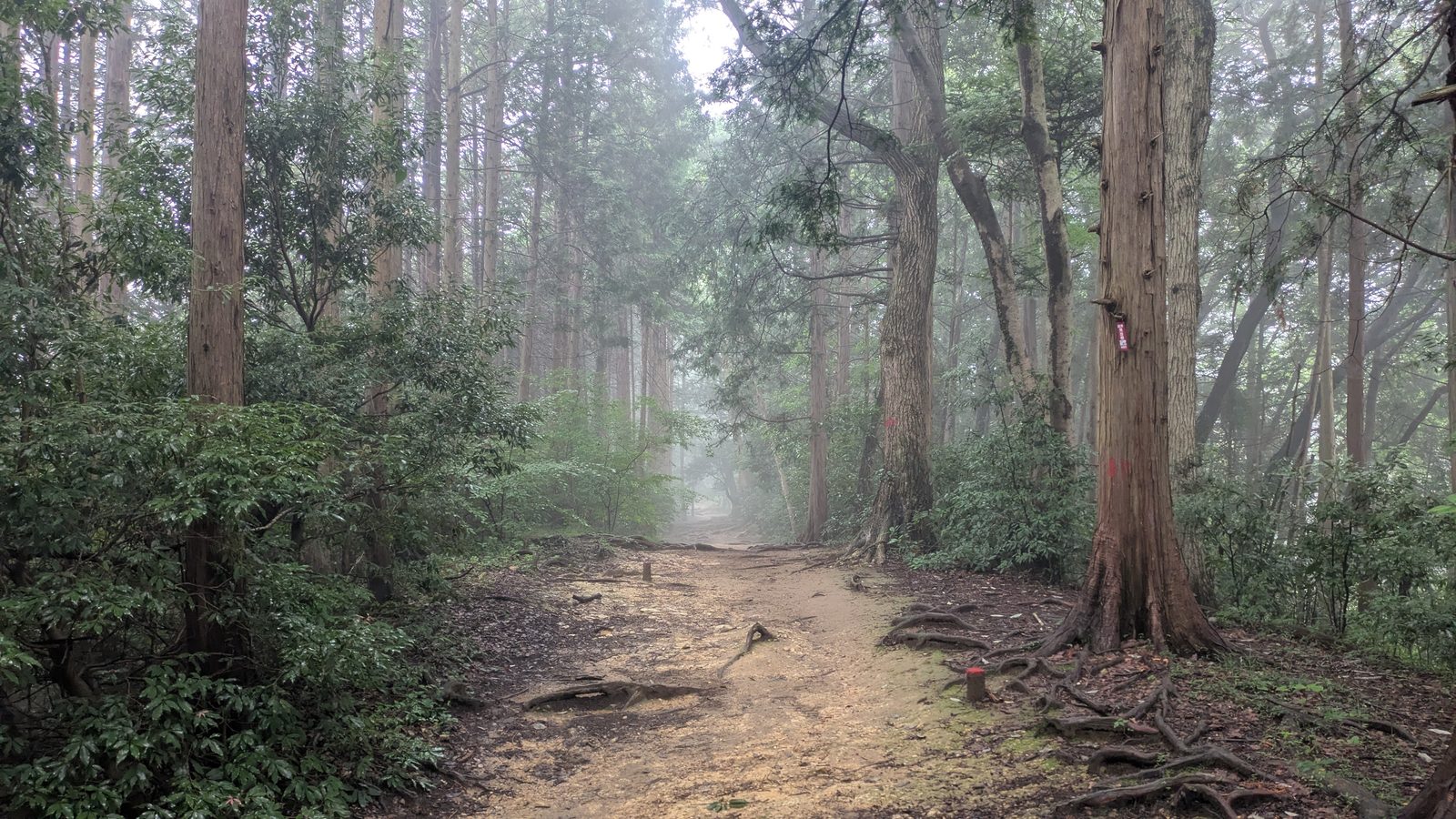
That's why — despite being a real dirt trail with roots underfoot — this is the one I'd call the easiest on foot.
The cable car and the chairlift both drop you above Trail 1's worst section. If the climb is what's worrying you, that steep stretch is exactly the part you'd be skipping.
The routes in detail
Trail 1 (Omotesando): the temple road
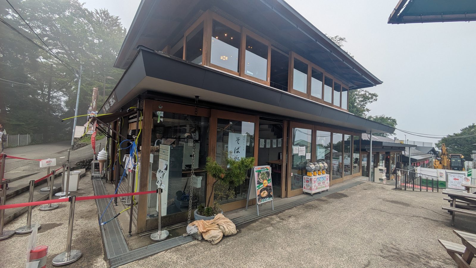
Trail 1 is the old approach to Yakuo-in, the mountain's temple, and it still feels like one. It's wide, sealed the whole way, and lined with shops selling grilled dango, soba and soft-serve. Halfway up you walk straight through the temple grounds.
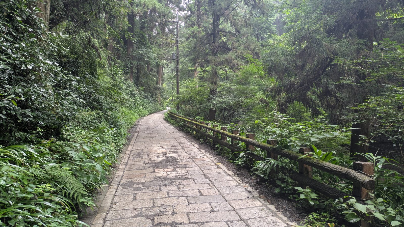
This is the route to take if the mountain is only half of why you came. You can do it in street clothes, stop for food, buy an omamori charm, and still be on the summit inside two hours.
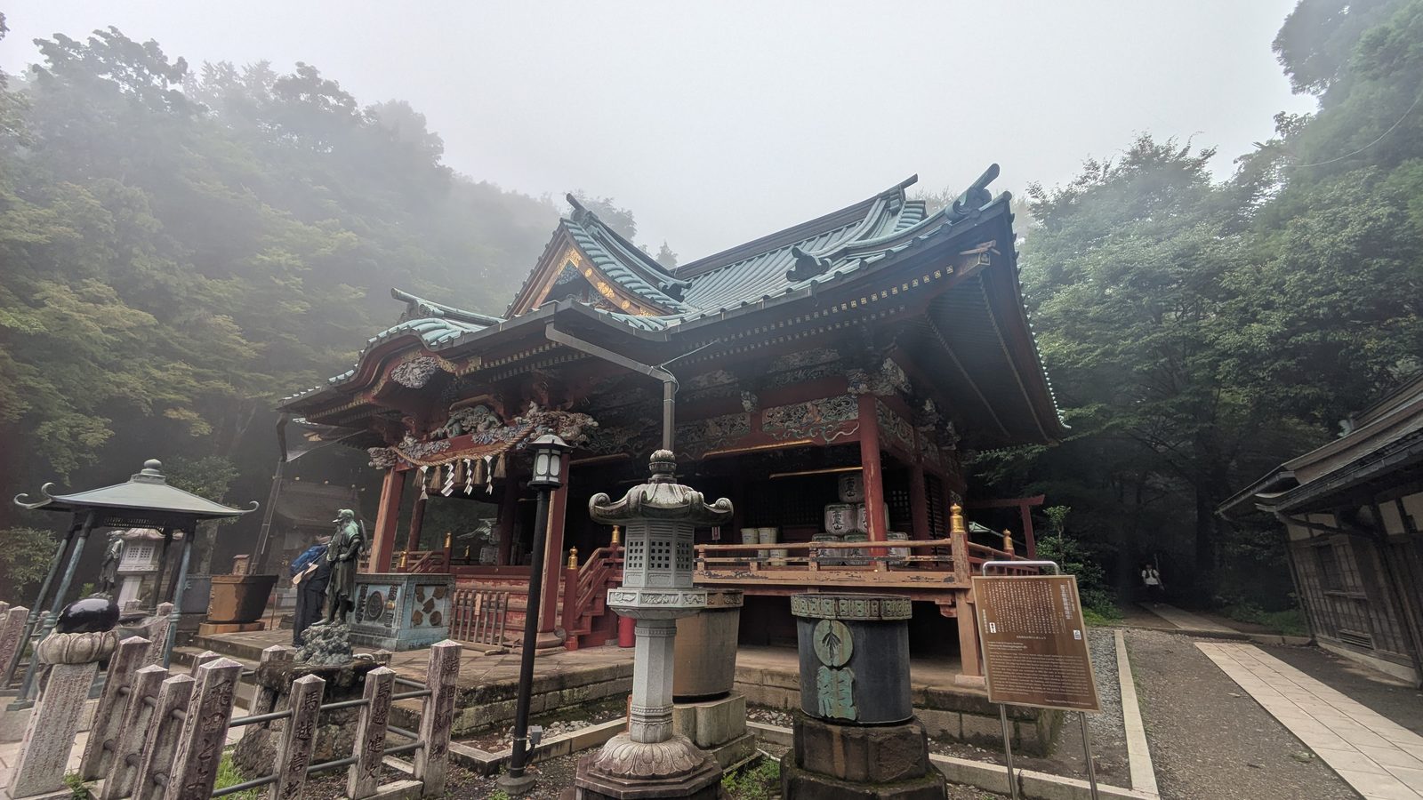
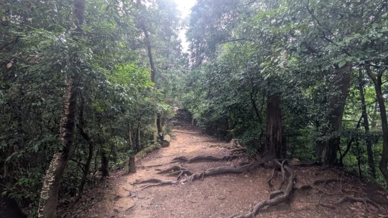
It's also the one experienced hikers find flat — not physically, but in character. There's tarmac under your feet from bottom to top, and you're rarely out of sight of other people.
Best for: first-timers, families, anyone who wants the temple and the food
Skip it if: you came to be in the forest
Time: 2 hrs (90 min at a good pace) · Toilets & vending machines: yes, several
Trail 6 (Biwa Falls): the cool one
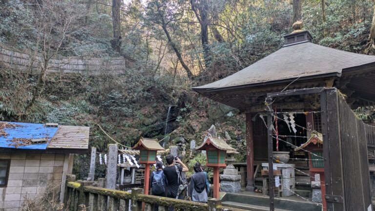
Trail 6 follows a stream up a shaded valley. In summer, the difference is physical — you feel the temperature drop as you enter it. Partway up you pass Biwa Falls, a small waterfall used for cold-water purification training.
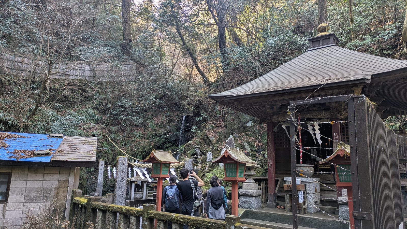
The trade-off is footing. You cross and walk beside water, the stone is often wet, and the path is narrow. When the mountain is busy, that narrowness turns into a queue — you'll spend the climb behind someone else's pace.
⚠️ Trail 6 goes one-way — uphill only — twice a year: during Golden Week and the autumn-leaf season. The two work differently. In Golden Week the restriction runs 8am to 2pm; in autumn it applies all day. It covers the trail from Biwa Falls up to the Trail 5 junction — the lower stretch, from the base station to the falls, stays two-way. So even during the restriction you can walk up to the waterfall and come back down. Exact dates move every year: check the Takao Visitor Center before you go.
Best for: hot days, anyone who wants shade and water
Skip it if: it's just rained, or you're going down
Time: 80–100 min · Toilets & vending machines: none — fill up before you start
Inariyama Trail: the quiet one
Inariyama climbs onto a ridge and then follows it, on dirt, under trees, the whole way to the summit. Roots cross the path in places, but it's well maintained — this is a proper trail, not a scramble. Our full Inariyama Trail guide walks it in order, including the one viewpoint most people miss because it faces back the way they came.
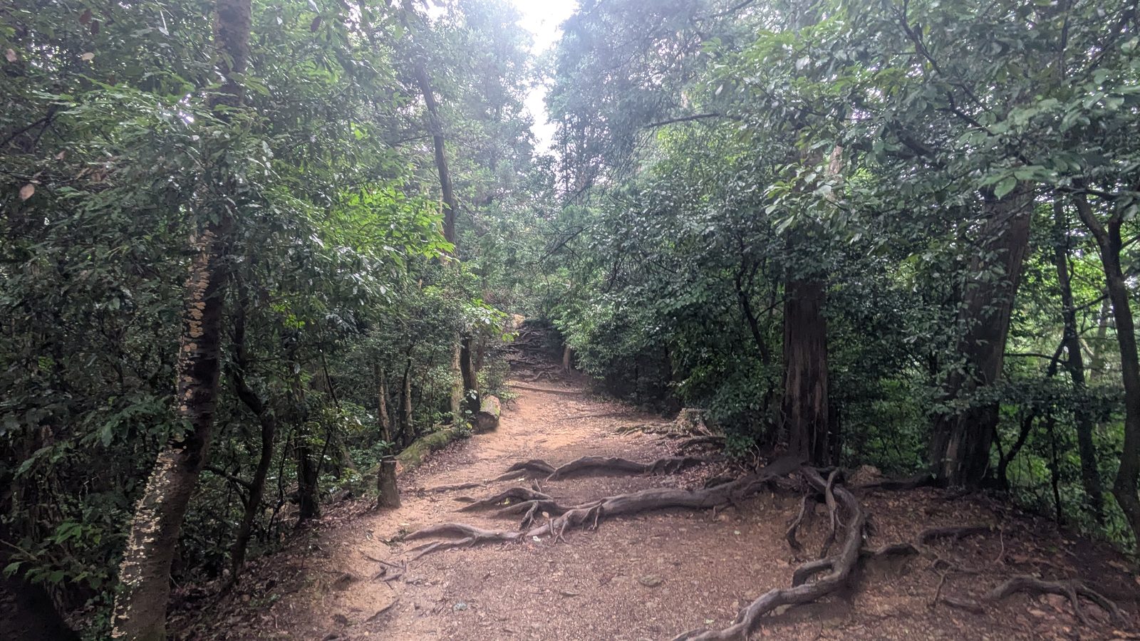
It is the quietest of the three by a clear margin. Same mountain, same day, noticeably fewer people. It's also, for my money, the most enjoyable: you spend the walk feeling like you're actually hiking, rather than walking up a road with a crowd.
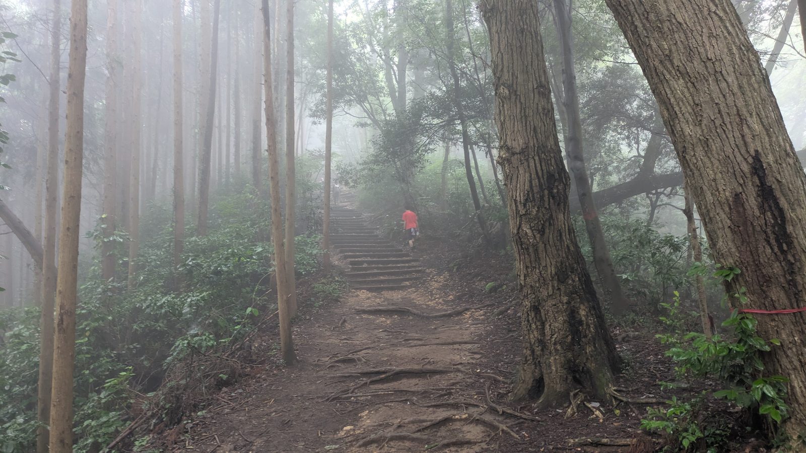
You won't get a view until the summit. The mountain isn't high enough for the ridge to clear the treeline, so you walk the whole way under cover. The upside of that is shade — the entire climb is out of the sun.
Best for: people who want the easiest walk on foot, and the fewest people
Skip it if: you need a toilet or a drink en route — there are none
Time: 80–100 min · Toilets & vending machines: none — fill up before you start
⚠️ Check it's open before you build a day around it. The Inariyama Trail was closed for over eight months in 2025 — from 19 February until 1 November — while hazardous trees along it were cleared. It was open when I walked it in July 2026. But closures on this mountain are measured in months, not days, and they don't make the English-language internet. The Takao Visitor Center posts current trail conditions; it's worth thirty seconds before you travel.
Cable car & chairlift: the shortcut that matters
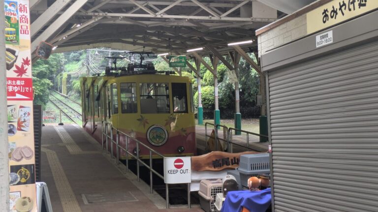
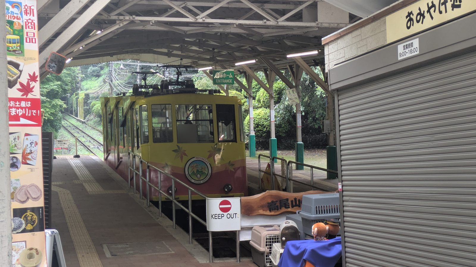
Both run from the base station a few minutes' walk from Takaosanguchi Station, and both put you above the steepest part of Trail 1. From the upper station it's about 45 minutes on pavement to the summit, through the shops and the temple — sightseeing rather than hiking.
Fares and times
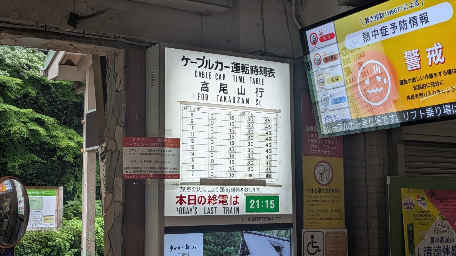
Fares are identical for both: ¥490 one way, ¥980 return for an adult. Children pay much less. The cable car runs from 8:00 every 15 minutes; the chairlift runs 9:00 to 16:30 in the warmer months. Full fares, including the child rate — where the operator website disagrees with the board at the window — are set out in the cable car versus chairlift guide.
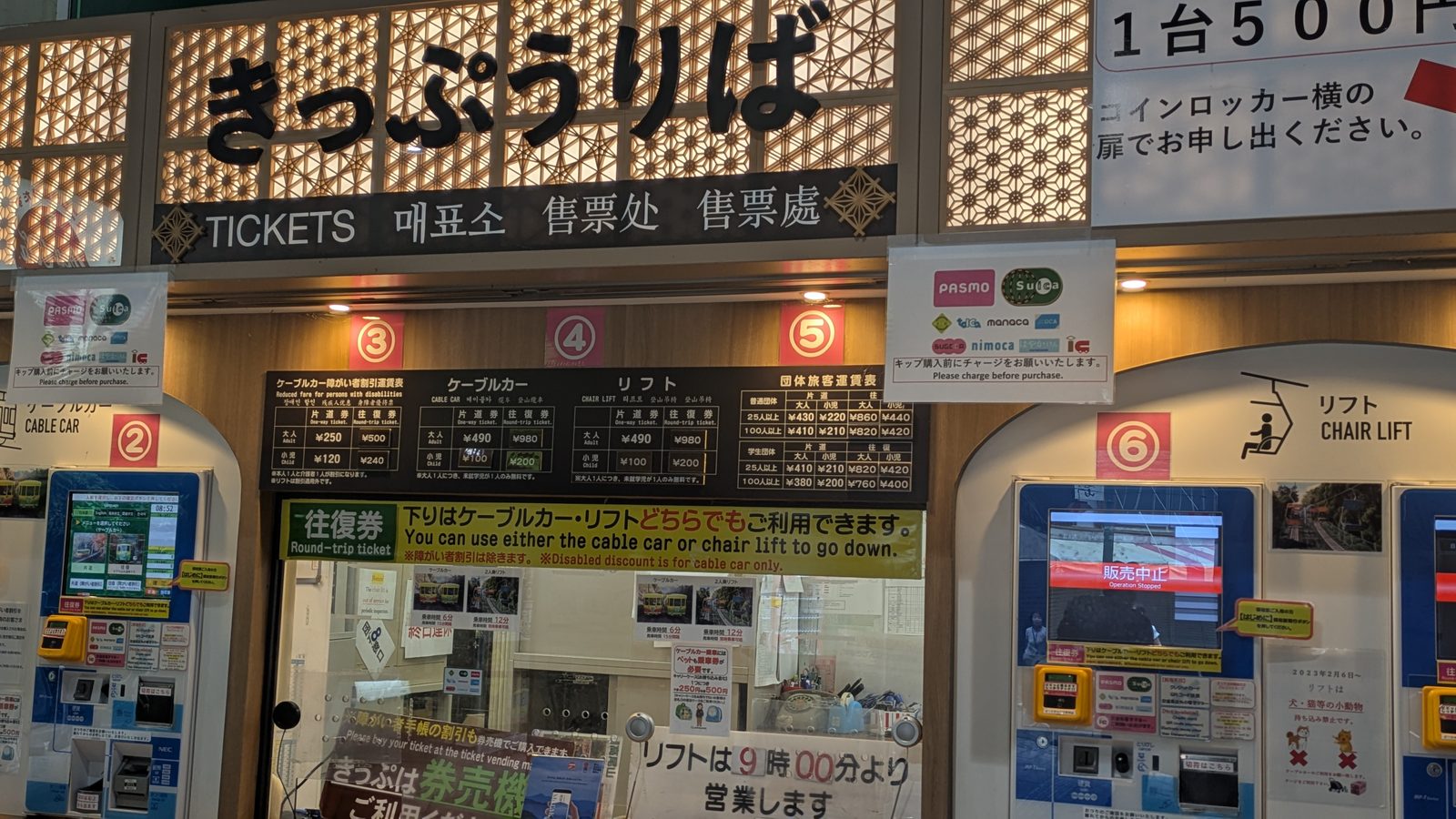
Two things worth knowing:
A return ticket lets you come down by either one. Buy a return for the cable car and you can still ride the chairlift down, or the other way round.
If you're following the "start before 8" advice, the cable car isn't running yet. First car is 8:00; the chairlift doesn't open until 9:00. That's a genuine trade-off, not a detail — decide which matters more to you, the empty trail or the ride up.
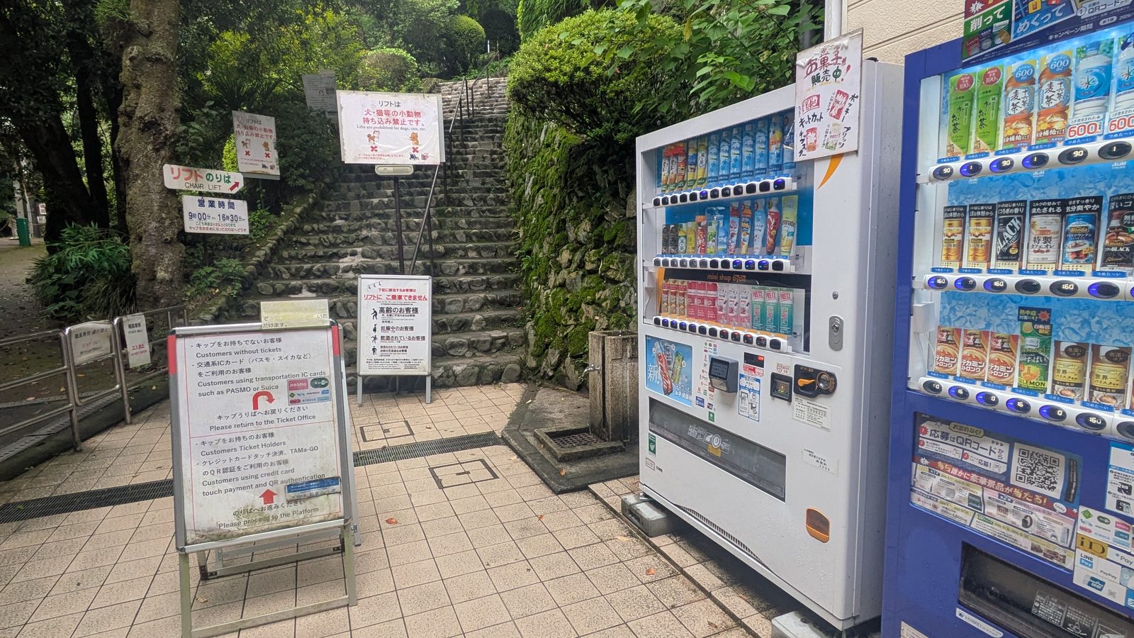
Who is not allowed on the chairlift
This is the part most guides leave out, and it changes the advice. Our cable car versus chairlift guide translates the notice in full.
The chairlift is an open two-seater with a bar — there is no cabin. A sign at the boarding gate rules out elderly passengers, anyone unsteady on their hands, legs or back, anyone pregnant, anyone who has been drinking, anyone unwell or with limited mobility. It also asks people with a fear of heights, plus young children riding alone, not to use it.
So if you're bringing older parents, or you're pregnant, take the cable car. The cable car is an enclosed carriage, it covers the same climb, and it costs exactly the same. The chairlift is the better ride if you're steady on your feet and want the open view — it just isn't the accessible option people assume it is.
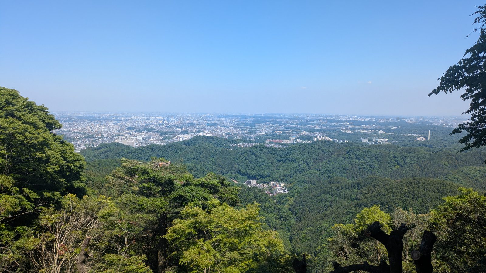
The view you get for the fare
Right by the cable car's upper station there's a viewing terrace looking out over Tokyo. On a clear day you can pick out Skytree from it.
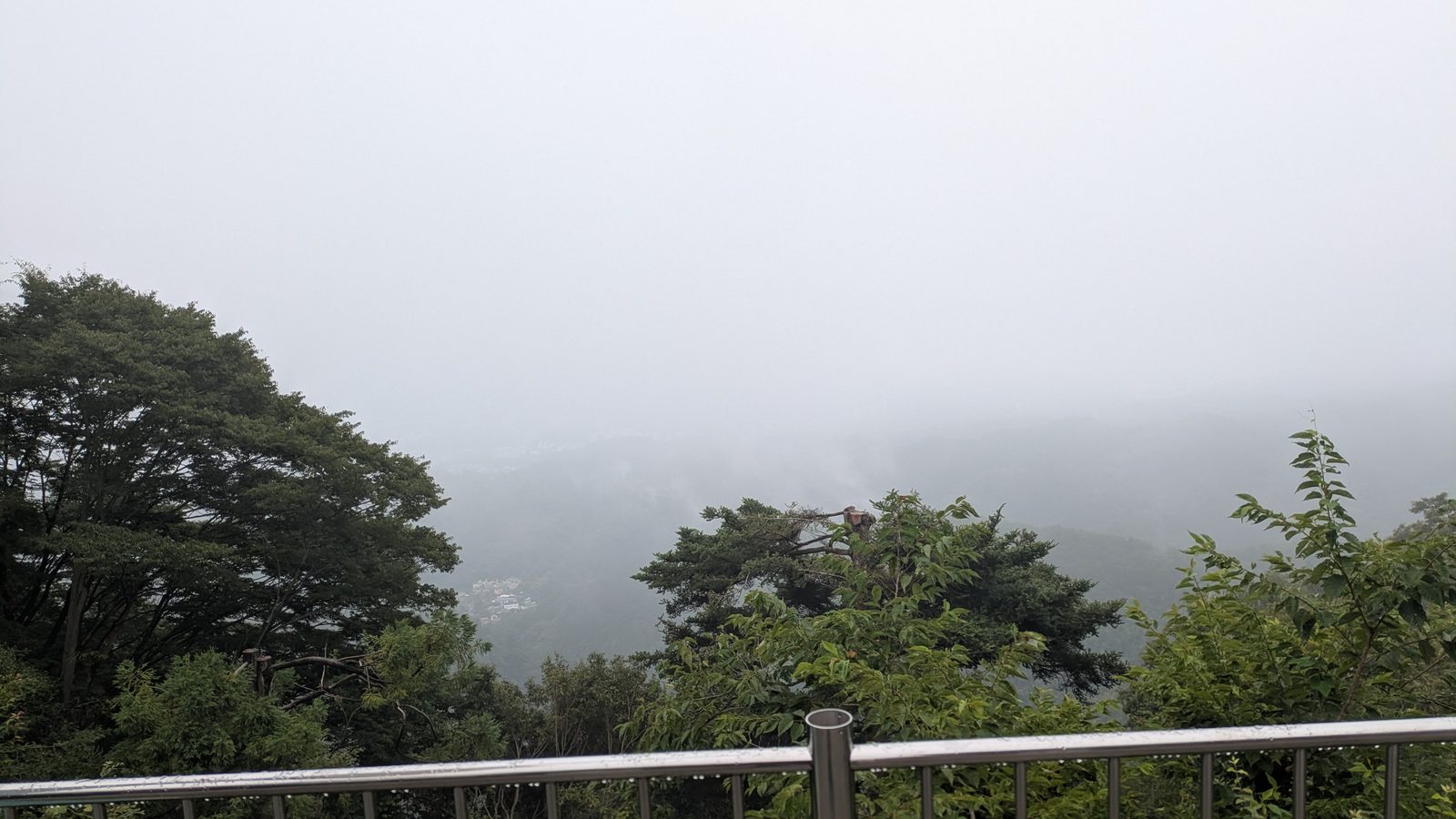
This is what makes Mount Takao workable for people who couldn't otherwise do it — small children, older parents, anyone not confident on a long climb. It isn't cheating. It's the reason this mountain belongs on so many itineraries.
Note: the chairlift has a simple canopy — enough to keep the sun off, not enough to keep the rain out. Both can stop in high wind or heavy rain, but in that weather you shouldn't be going up anyway.
If you would rather not choose a route at all, one small-group guided day on Mount Takao picks it for you: the cable car or chairlift halfway up, the temple, the summit, a ramen or soba lunch, and a hot spring at the end, with an English-speaking guide.
Affiliate link · Small group of up to 7 · About 8 hours · Free cancellation up to 24 hours before
Going down: don't just reverse your route
Most guides stop at the summit. But the way down is a separate decision, and on this mountain it matters more than you'd expect.
Don't come down Trail 6
Four reasons, and any one of them is enough:
It's slippery. You're walking beside and across a stream, on wet stone, going downhill. That's the combination that causes falls.
Getting wet has consequences. Slip into the water and there's nowhere on this mountain to change. A soaked day out is a ruined day out.
It may be closed to you anyway. In Golden Week and the autumn-leaf season, the trail above Biwa Falls is uphill-only. Arrive at the top planning to descend it and you'll be turned around.
You'll be the one stepping aside. Uphill walkers have priority, and Trail 6 is narrow. Start early — as you should — and you'll meet the day's crowd coming up as you're going down. Expect to stop constantly.
Trail 1 down: the one with a safety net
From the temple down to Takaosanguchi Station, Trail 1 is paved and wide enough that passing people is never an issue.
Its real advantage is the escape hatch: if your legs are finished, you can get on the cable car or chairlift partway down and ride the rest. No other route gives you that option.
Inariyama down: also fine
It's a dirt trail, so watch your footing — but it's noticeably wider than Trail 6, and passing people isn't a problem. If you want to stay off the pavement all day, this is your descent.
Route combinations that work
| Up | Down | Why this pairing |
|---|---|---|
| Inariyama | Trail 1 | Quiet climb through the trees, then the temple and the food on the way down. The most complete version of the day. |
| Trail 6 | Trail 1 | Cool, shaded climb; easy, well-supplied descent. |
| Trail 6 | Inariyama | For people who'd rather not touch tarmac. |
| Cable car | Cable car | Minimum effort, maximum view. Genuinely a good day out. |
If you only remember one thing: go up on dirt, come down on pavement.
When to go
The one rule: be walking by 8am
If you take a single piece of timing advice from this page, take this one.
Start before 8 and it is a different mountain. Quiet trail, no queue, nobody's pace to follow on a narrow path. Earlier is better — there's no point at which you've gone too early.
There are two trade-offs, and you should know both:
The shops and restaurants along Trail 1 won't be open yet. The temple, though, receives visitors from early morning, so you don't miss that part.
The cable car isn't running before 8:00, and the chairlift not before 9:00. If riding up is part of your plan, "before 8" isn't available to you — aim to be on the first car instead.
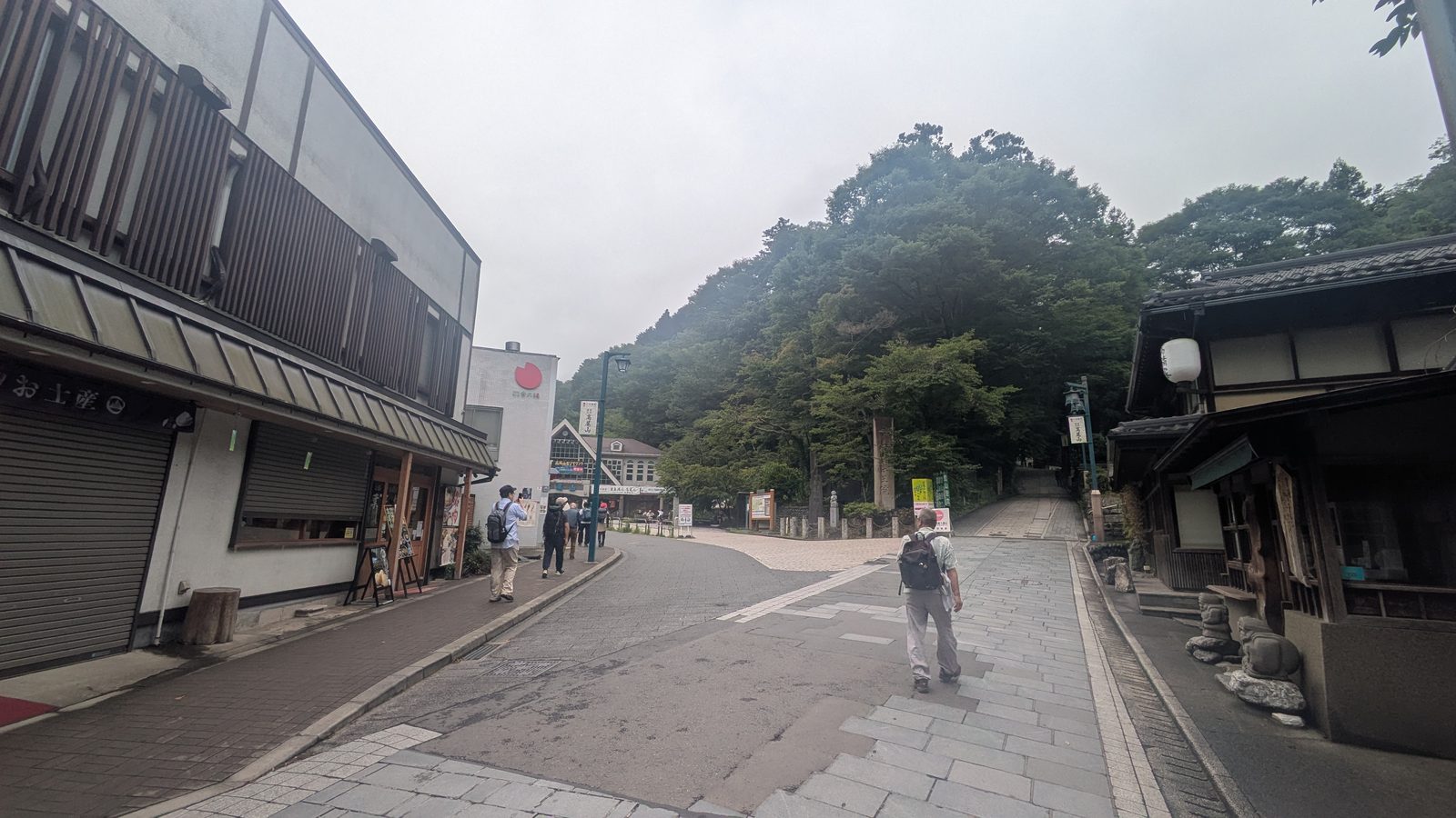
The window to avoid is roughly 10am to 1pm. That's when the trails fill. A round trip takes about three hours, so an afternoon start is genuinely fine — just don't set off in the middle of the day.
Weekends are busier than you'd guess
Most Japanese hikers are students or office workers, and in Japan that means Saturday and Sunday off. Weekends and public holidays are reliably busier than weekdays.
If your itinerary has any give in it, come midweek.
The busy seasons — and the two worth it anyway
The mountain fills up at New Year, Golden Week (late April to early May), the summer school holidays, and the autumn-leaf season.
I climbed Trail 1 during Golden Week once and hit genuine gridlock — a stationary queue of people on the trail. Not a walk. Avoid that one.
But two of these are worth the crowds, and for a visitor they may be the point:
New Year. Japanese people make a first temple visit of the year called hatsumode, and Yakuo-in fills with them. You are not going to see this at home. The crowd is the experience.
Autumn leaves. Roughly November. It's busy because it's beautiful, and it only happens once a year.
For everything else on that list — Golden Week, summer holidays — pick another day.
Summer: the season to skip
From late July through August, Tokyo regularly passes 35°C (95°F), and it's humid with it. That is heat-stroke weather, and this is not a mountain where you can climb above it — the summit is only 599 m.
Honestly: choose another month if you can.
If you can't:
- Take the cable car. Cut the time you're out in it.
- Take Trail 6 if you're walking. The valley and the stream make a real, physical difference.
- Carry more water than you think you need, and refill at the summit.
- Start at first light, not at 8.
Toilets, water and food
Toilets
There are toilets at Takaosanguchi Station, at the cable car station, at Yakuo-in temple, and at the summit. All are modern flush toilets and kept clean — this is not something you need to worry about here.
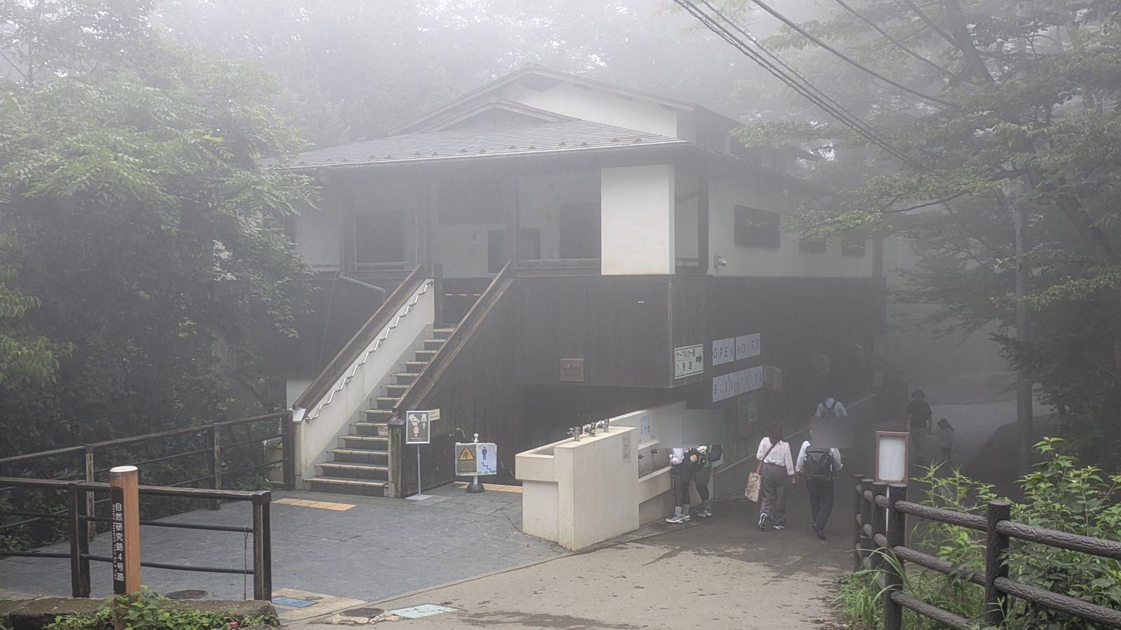
⚠️ There are no toilets anywhere on Trail 6 or the Inariyama Trail. Once you leave the base station on either of those, the next one is at the top.
Trail 1 is the only walking route with facilities along the way.
Water
Vending machines are at the station, the cable car base station, the temple, the summit, and outside the shops along Trail 1.
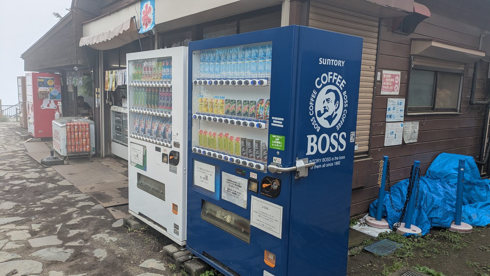
Japanese tap water is safe to drink. Filling a bottle from a tap is completely ordinary here — nobody boils it, nobody filters it — and it saves you buying another plastic one. There are two places on this mountain to do it, and they're not equally obvious.
At the summit there's a proper drinking fountain, with a plaque on the side from the Tokyo Metropolitan Waterworks reading "safe and delicious water". No ambiguity about what it's for.
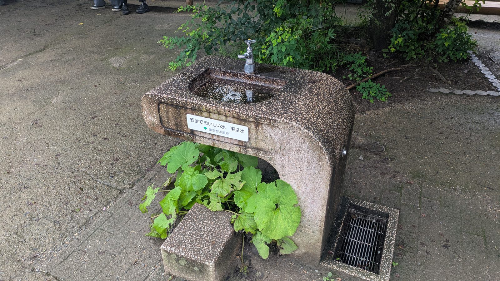
At the cable car base station, where all three walking trails begin, there's a plain outdoor tap on a concrete post. It's the same mains supply, and a Japanese hiker would fill up from it without a second thought — but it isn't signposted as a drinking fountain, so if that leaves you uneasy, there are vending machines standing a few steps away. Either one works. The point is that this is your last chance before the summit.
⚠️ Taking Trail 6 or Inariyama? Sort your water out at the base station — tap or vending machine, your call. There is nothing at all between the trailhead and the summit, and in summer that gap matters.
Food
There's a convenience store at Takaosanguchi Station — drinks, onigiri rice balls, sandwiches, pastries. If you're starting early, before anything on the mountain opens, this is where you sort out breakfast and lunch.
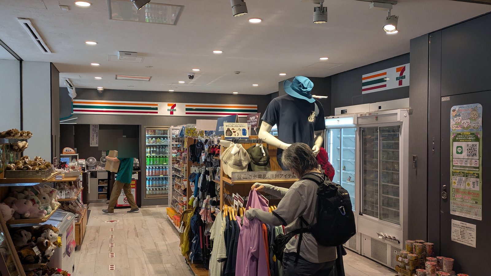
On the mountain itself, food is concentrated on Trail 1 and at the summit: soba, dango, soft-serve, and a proper meal at the top if you want one.
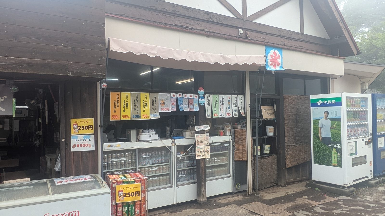
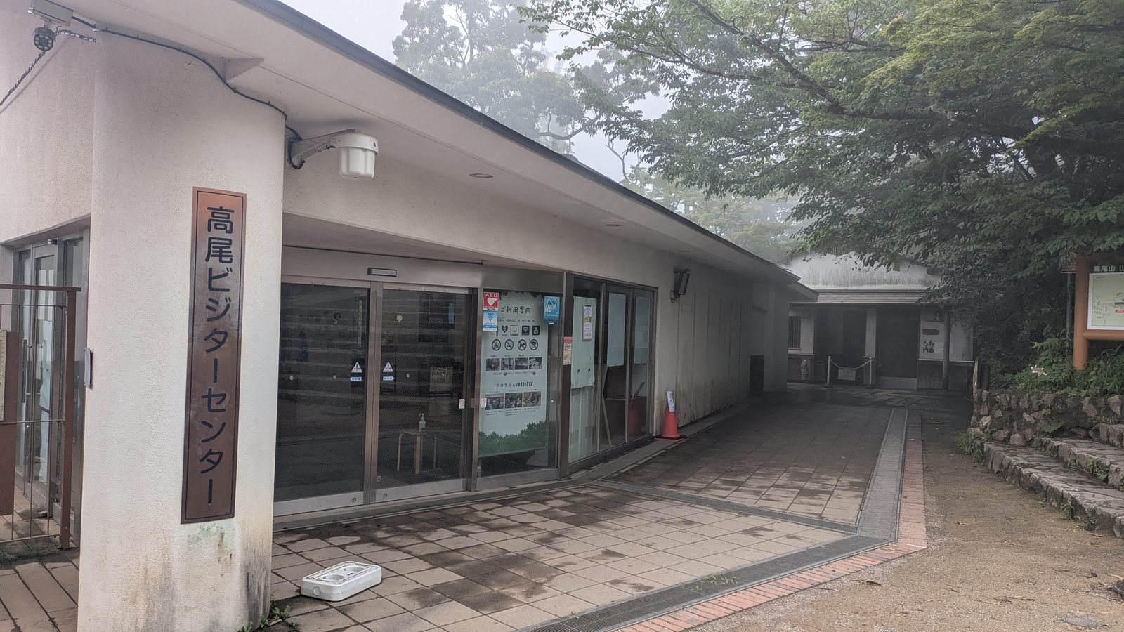
Trails 6 and Inariyama have nothing until you get there.
In short
| Station | Base station | Trail 1 | Trail 6 | Inariyama | Summit | |
|---|---|---|---|---|---|---|
| Toilets | ✅ | ✅ | ✅ | ❌ | ❌ | ✅ |
| Vending machines | ✅ | ✅ | ✅ | ❌ | ❌ | ✅ |
| Refill tap | ❌ | ✅ | ❌ | ❌ | ❌ | ✅ |
| Food | ✅ | ✅ | ✅ | ❌ | ❌ | ✅ |
What to bring
Mount Takao doesn't ask much of you. The list is short, and being honest about how short it is matters more than padding it out.
The short list
Shoes with some grip. On Trail 1 any comfortable walking shoe is fine — but not heels, and not sandals; it's still two hours on your feet. On Trail 6 or Inariyama you're on dirt, roots and wet stone, so you want a sole with tread. Flat-soled canvas shoes are the ones that catch people out.
Water. If you're taking Trail 6 or Inariyama, fill up or buy at the base station — there is nothing between there and the summit. Tap water here is drinkable; see below.
Cash — and more of it the higher you go. At the base station you can pay by IC card, credit card or QR code at the ticket office and the vending machines. At the summit, the vending machines take coins and notes only. The shops and the temple office are cash too. That is true of this mountain. It is not a rule about altitude: the teahouse on Kobotoke-Shiroyama, 71 m higher than this summit, takes cards, QR payment plus transport IC — see the Lake Sagami traverse.
A bag for your rubbish. Japan has almost no public bins, on the mountain or off it. You carry what you generate until you find one — usually back at the station or your hotel. This surprises most visitors once, and then it's fine.
In summer: a hat, sunscreen, and more water than feels necessary.
One thing you don't need to bring, and will be glad of
There are boot-washing taps just outside Takaosanguchi Station, with brushes and buckets provided, free to use.
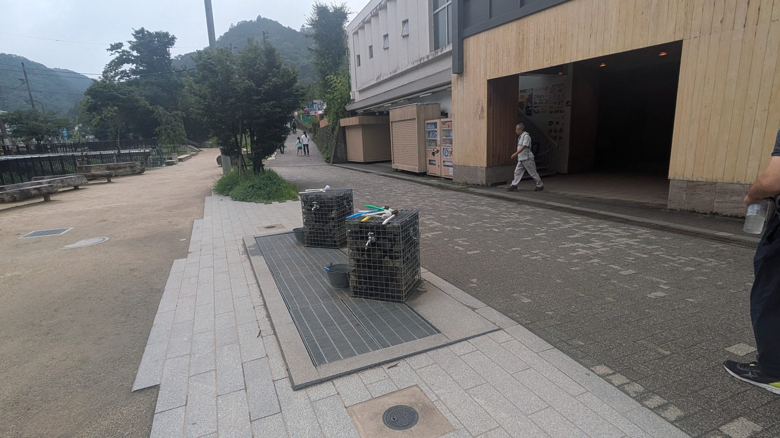
If you've come down Inariyama or Trail 6 after rain, use them. You are about to get on a commuter train, and Japan takes a fairly dim view of tracking mud through one. It takes two minutes and it's the most quietly useful facility on the mountain.
What you don't need
This is a 599 m mountain with maintained trails and a temple halfway up. You do not need:
- Hiking boots
- Trekking poles
- A rain shell "just in case" on a clear forecast
- Any kind of specialist gear
If you're an experienced hiker reading this and wondering whether to bring your kit — you don't need it here. If you're not a hiker at all and wondering whether you're underequipped — you're probably fine.
What's waiting at the top
The summit is a proper destination, not just a high point. There's a visitor centre, toilets, shops, and places to sit down and eat.
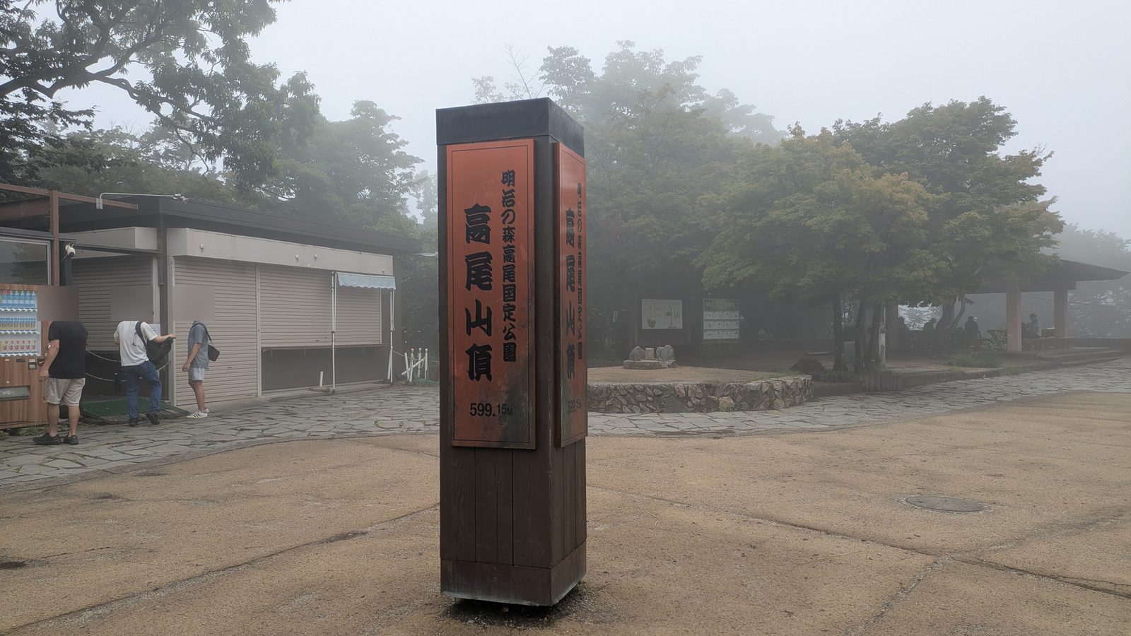
But that isn't why you climbed it.
Two views, in opposite directions
Turn east and Tokyo is laid out below you — the city you were standing in this morning, seen from above. That view is there most days.
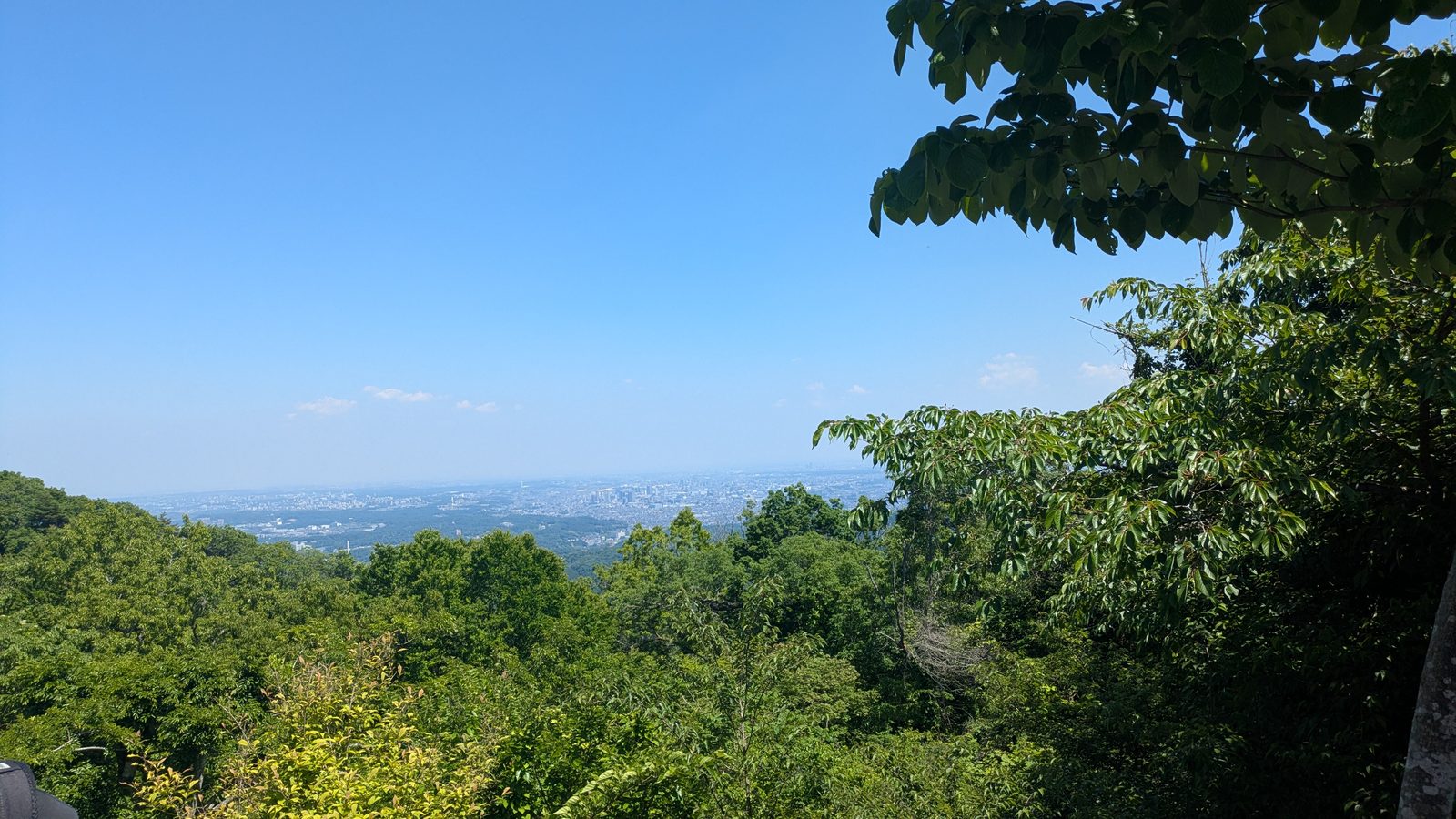
Turn west, and here I have to be straight with you: Mount Fuji is not a guarantee.
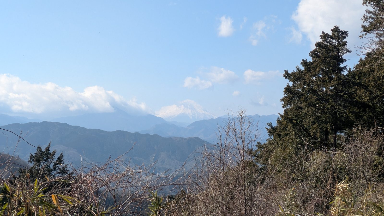
In winter the air is dry and Fuji comes out sharp — that's the season to be up here for it. In summer there's usually haze or cloud sitting in the way, and a blue sky at the station doesn't mean Fuji at the summit.
Here is what the same two viewpoints looked like on a July morning that started clear at the station:
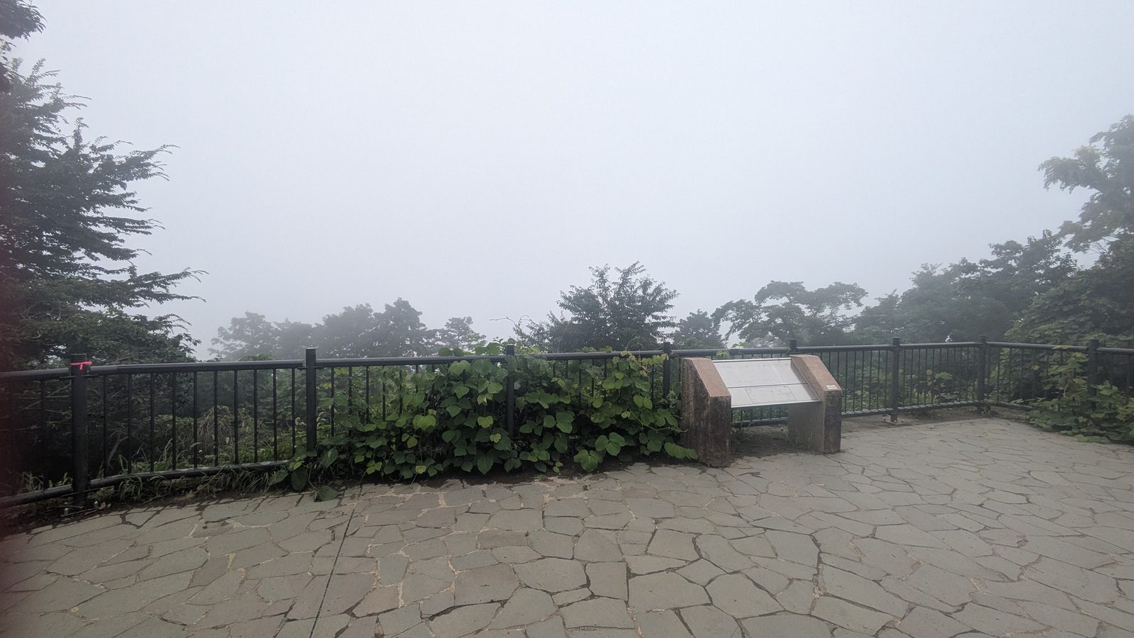
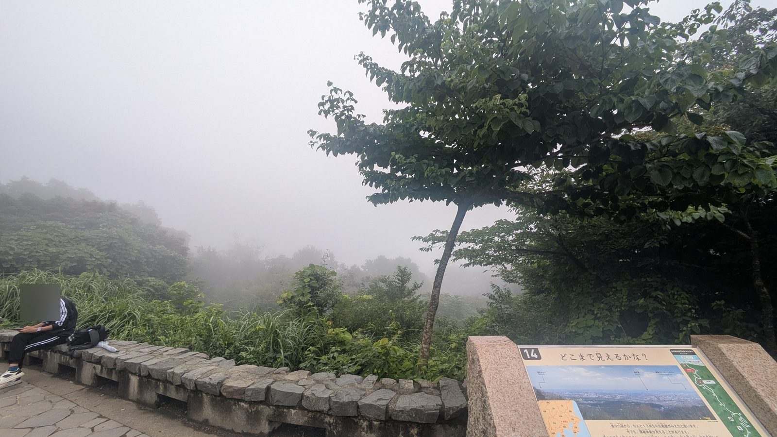
So come for Tokyo — you'll usually get it. Treat Fuji as the bonus. And if seeing Fuji is the reason you're making the trip, come in winter.
And this is the part the trail choice was for
Here's what the morning looks like if you got it right.
You were walking by eight. The trail was quiet — for the first hour you barely saw anyone. You had the shoes for the ground you were on, and water in your bag because you knew there wouldn't be any. The climb hurt where you expected it to hurt, and then it stopped.
Now you're at the top, eating something hot, with Tokyo spread out below you — and if the air is behaving, Fuji off to the west. It's still only mid-morning. The whole day is still ahead of you.
"I thought this was going to be the hard part of the trip."
It wasn't. That's the point.
Questions people actually ask
Ten questions. Ten answers you can read without opening anything. Open one only when you want the detail behind it.
Before you leave3
What time should I start to avoid the crowds?
By 8am
Be walking by 8am. Earlier is better. The trails fill up between roughly 10am and 1pm. Weekends and public holidays are consistently busier than weekdays, because most Japanese hikers work or study Monday to Friday. Note that the cable car doesn't start until 8:00, so an early start and a ride up are mutually exclusive.
Do I need hiking boots for Mount Takao?
No — walking shoes are fine
No. Trail 1 is paved the whole way and comfortable walking shoes are fine — just not heels or sandals. For Trail 6 and the Inariyama Trail you want a sole with some tread; flat-soled canvas shoes are the ones that slip.
Do I need cash on Mount Takao?
Yes — cash only at the summit
Yes, and increasingly so as you climb. The ticket office and the vending machines at the base station take IC cards, credit cards and QR payment. At the summit, the vending machines are cash only, and so are the shops and the temple office.
If you need to withdraw cash, there is a Seven Bank ATM in the passage beside the onsen at Takaosanguchi Station. It takes foreign cards: Visa, Plus, Mastercard, Maestro.
Choosing your way up3
How long does it take to hike Mount Takao?
80 min – 2 hrs
Between 80 minutes and 2 hours to the summit, depending on the route. The Inariyama Trail and Trail 6 take 80–100 minutes; Trail 1 takes about 2 hours, or 90 minutes at a good pace. From the cable car's upper station it's around 45 minutes. Allow about three hours for a round trip on foot.
Which Mount Takao trail is the easiest?
The Inariyama Trail
On foot, the Inariyama Trail — despite being a dirt path. It's steep only at the very start, then eases into a gentle ridge walk. Trail 1 is paved but has the longest sustained climb on the mountain. If you'd rather not climb at all, take the cable car.
How much is the Mount Takao cable car?
¥490 one way · ¥980 return
¥490 one way, ¥980 return for an adult, as posted in July 2026. The chairlift costs exactly the same, and a return ticket for one lets you come down on the other. Children pay much less — the operator website lists a different child rate from the board at the window, so read the board on the day; the cable car versus chairlift guide sets out both. The cable car runs from 8:00 at 15-minute intervals; the chairlift operates 9:00–16:30.
Who can ride, who can’t2
Can elderly or pregnant visitors use the chairlift?
No — take the cable car
No — and this catches people out. The chairlift is an open seat with no cabin, and the notice at the boarding gate says elderly passengers, anyone unsteady on their legs, pregnant passengers, and anyone unwell or intoxicated may not ride it. Use the cable car instead: it's an enclosed carriage, it climbs the same section, and it's the same price.
Can I climb Mount Takao with young children?
Yes — with the cable car
Yes. Take the cable car, which skips the steepest section, then walk the paved Trail 1 from the upper station — about 45 minutes to the summit, with toilets, vending machines and food along the way. Children shouldn't ride the chairlift unaccompanied.
What to expect2
Can you see Mount Fuji from Mount Takao?
Sometimes — best in winter
Sometimes. Winter gives you the best chance, when the air is dry and clear. In summer, haze and cloud often block it — a blue sky at the station doesn't mean Fuji from the summit. The view over Tokyo is the more reliable of the two, but in bad conditions even that disappears.
Do I need a guide to hike Mount Takao?
No
No. The junction signposts carry romanised place names, Trail 1 is paved for most of its length, the paths are busy enough that you are rarely out of sight of somebody else. Nobody needs a guided day here to find the summit. What a guided day adds is different: a person to tell you what you are walking past, an itinerary already decided, lunch, the monkey park, plus a hot spring at the end that accepts tattooed guests, which the one at the trailhead does not. It runs eight hours, starting at Takaosanguchi Station, finishing at Hachioji Station: the Mt Takao day tour on GetYourGuide, an affiliate link that earns this site a commission at no extra cost to you.
Affiliate link. This site earns a commission if you book through it, at no extra cost to you. Photo from our own walk.
Where to go from here
If this is your first time on the mountain, you now have what you need: pick your trail from the table at the top, start before eight, and sort your water out at the base station if you're taking Trail 6 or Inariyama.
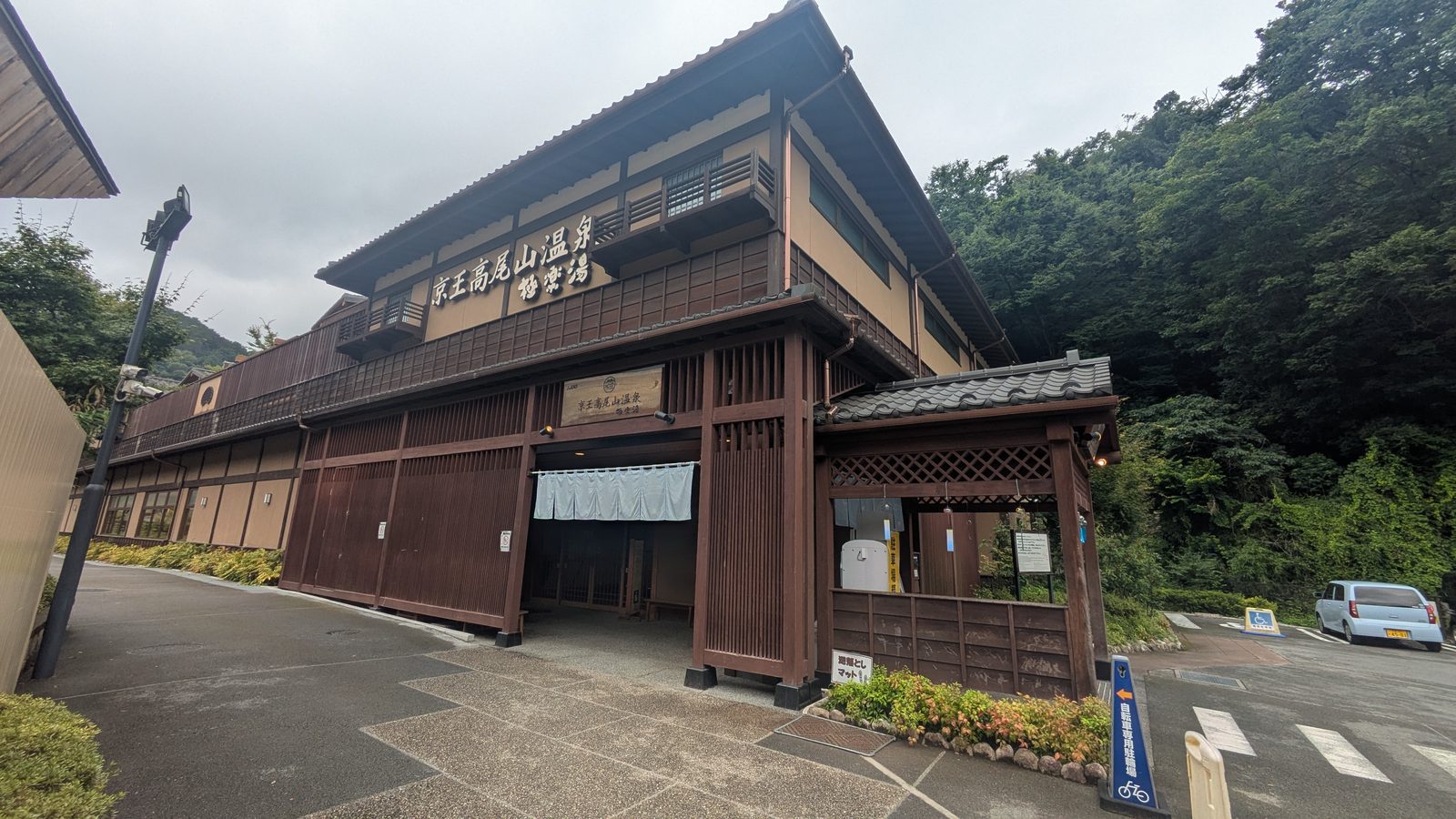
Choosing your route while standing at the trailhead is a freedom worth naming, because not every mountain near Tokyo offers it. Where you go next depends less on what you want to read than on where you are standing now.
1You have not gone yet
The detail on this mountain, route by route
Trail 1The paved temple roadSteep early, and it lasts Trail 6You walk in the streambedOne hard push at the end Inariyama TrailThe quiet dirt ridgeSteep at the start, then it eases Cable car or chairliftThey cost the same — here is how to choose Yakuo-in TempleWhat to do as you walk through The onsen at the trailheadThe rules that can turn you away Going with tattoosThe bath at the station will refuse you. Where to go instead Coming in November or DecemberThere is no wrong week — and the crowd is not on the mountain2You are still choosing the mountain
Three days, side by side
Takao or MitakeI have walked both. The answer is not about difficulty Takao or KamakuraOne is a climb with a temple. The other is temples with a walk Takao or FujiOne you decide on the morning. The other before you book the flight3You have done Takao
Where the train takes you next
Takao to Lake SagamiThe ridge traverse — and why to walk it backwards A day on Mount MitakeThe hike you decide after you arrive Mitake Rock GardenThe hardest part is optional Riding a Japanese bus to a trailheadThe rules change outside TokyoPrices and timetables were read off the boards on site in July 2026; trail restrictions were checked against the Takao Visitor Center’s published notices. All of them change — confirm before you go.